



Delaware Valley
Back On Track
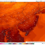
The second half of the weekend looks fantastic with sunshine and low humidity levels! A great day for outdoor activities, backyard barbecues, and […]
Read More....Saturday: Strong storms could produce a tornado or two
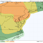
The image above is a rare level 3 severe risk for the Philadelphia area. A level 3 consists of numerous strong to severe […]
Read More....Stormy Saturday Afternoon And Evening
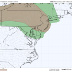
The image above is a look at the tornado threat Saturday afternoon and evening. Weather Summary Saturday is shaping up to be a […]
Read More....Heat and Smoke
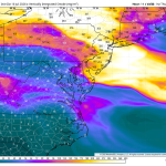
Wildfire smoke from Canada will create very unhealthy air quality across the Philadelphia region on Thursday, with the Pennsylvania Department of Environmental Protection […]
Read More....The Heat Is On!
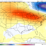
Wednesday will be one of the hottest and most uncomfortable days of the entire summer across the Delaware and Lehigh Valley’s. Temperatures will […]
Read More....Heat Building! It Could Get Awful Again!
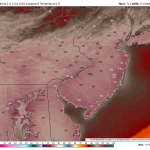
The image above is a look at potential heat index numbers by Wednesday afternoon as another heat pump ridge builds in from the […]
Read More....Finally Settling Down
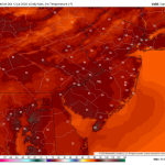
The image above is a look at Sunday’s high temperatures throughout the region. Mid 80s with low dewpoints is a nice treat during […]
Read More....Saturday’s Forecast – More T’Storms Are On The Way!
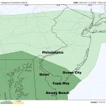
The image above is the severe weather outlook by the Storm Prediction Center. Dark green represents a level 1 risk, isolated threat. Weather […]
Read More....Isolated Severe Weather Friday
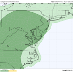
Today should be a quieter day around the Delaware and Lehigh Valley’s. There’s still a chance of a thunderstorm out there, and it […]
Read More....Thursday’s Severe Weather Threat Increasing
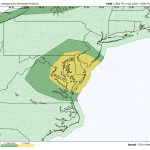
As expected, the Storm Prediction Center has upgraded Thursday’s severe weather threat from a level 1 to a level 2. Most CAMs guidance […]
Read More....Keeping An Eye On Thursday
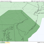
The image above is the Storm Prediction Center’s outlook for Thursday afternoon. Notice they have expanded the level 1 north. It now includes […]
Read More....Short Term Quiets Down – Thursday Could Be Active Though
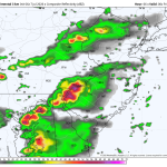
The image above is what the radar might look like Thursday afternoon. This would be our next chance for severe weather. Until then, […]
Read More....Flood Watch – Downpours
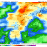
The image above is expected rainfall totals through tonight. Weather Summary The weather pattern remains very unsettled over the next couple of days. […]
Read More....Stormy Weather Continues
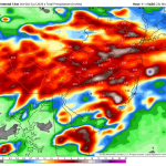
Weather Summary The stormy weather will continue over the next couple of days. The Storm Prediction Center has issued a level 2 out […]
Read More....Fourth of July Forecast

An EXTREME HEAT WARNING is in effect for the 4th of July! Unfortunately, there’s not going to be much relief for the 4th […]
Read More....




