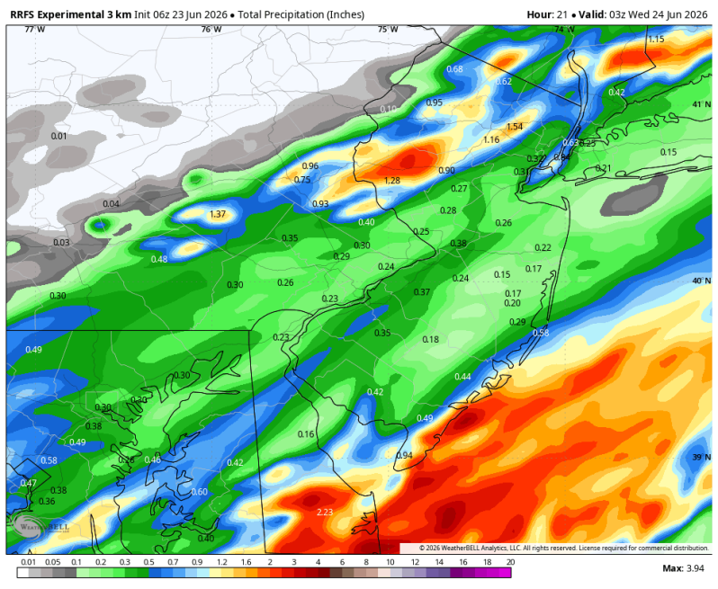
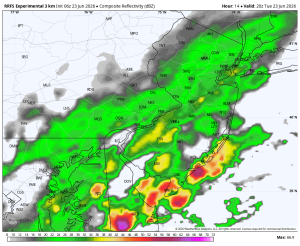
The image above shows possible rainfall totals through the day on Tuesday. We could be looking at a good soaking down at the Jersey shore and Delaware beaches.
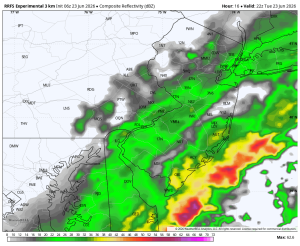
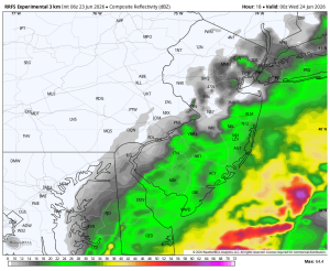
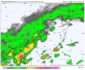
Tuesday’s kind of flying under the radar so to speak. The modeling has been trending worse and worse in recent days and now shows a very soggy afternoon, mainly south of Philadelphia. Thankfully, the atmosphere is in a much different state now after Monday’s drenching downpours and thunderstorms. It’s not quite as unstable. With that being said, a drenching downpour and thunderstorm are still possible. Just likely not severe.
The humidity will still be high which will aid in the development of downpours. But with all the cloud cover and wet weather, temperatures shouldn’t be nearly as warm. Look for highs only to top out in the upper 70s.
Rainfall totals could exceed 1 or 2 inches in parts of the area.
Tuesday: 2:00pm Tuesday: 4:00pm
Tuesday: 6:00pm Tuesday: 8:00pm