Weather Summary
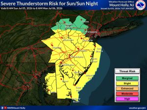
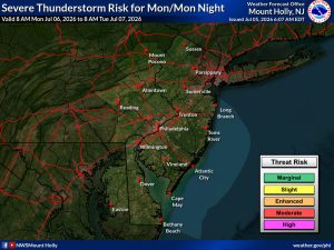
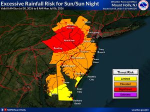
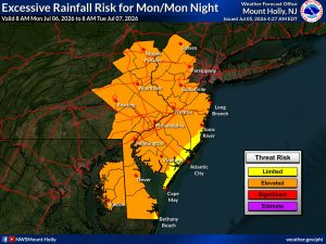
The stormy weather will continue over the next couple of days. The Storm Prediction Center has issued a level 2 out of 5 this afternoon for most of the coverage area. The Weather Prediction Center has issued a MODERATE RISK for flash flooding this afternoon and a SLIGHT RISK Monday.
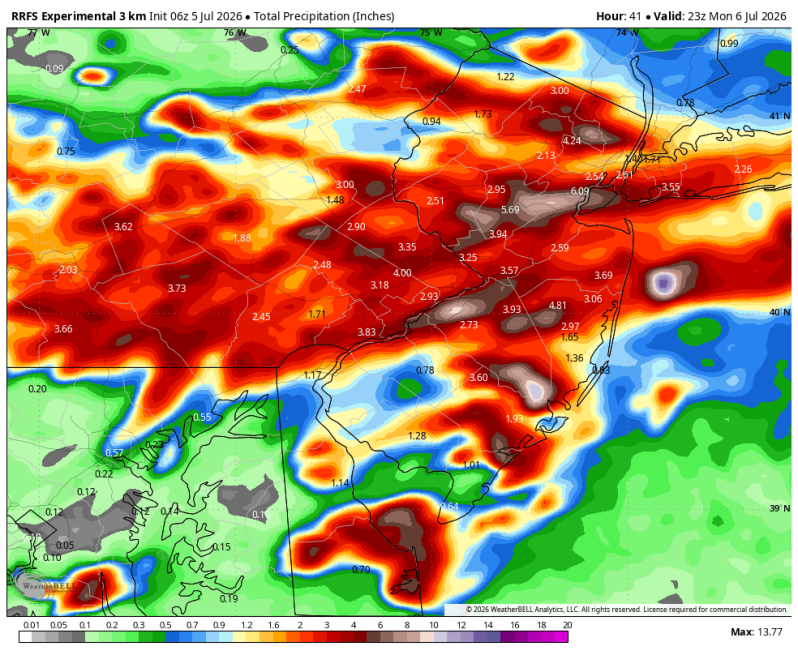
Flash flooding could be a big problem for areas north of the Pennsylvania Turnpike this evening. Some of the high-resolution forecast guidance is printing out 2-5 inches of rain (in a short period of time). This on top of the heavy rain that has hit this area over the past couple of days. Please remember to find an alternate route if you come across a flooded road. There’s more than one way to get to where you need to go. You don’t know how deep the water is or the condition of the road underneath the floodwaters. Turn around don’t drown!
As for the severe threat… the main concern once again is strong, potentially damaging straight-line wind gusts. Over the past couple of days there have been tons of wind damage reports including downed trees and tree branches, downed power poles and wires, even some structural damage. Today should be the last of that kind of weather and then things will begin to settle down a bit Monday.
Flash Flood Threat
Sunday Monday
Severe Weather Threat
Sunday Monday