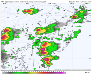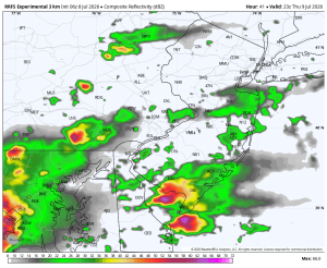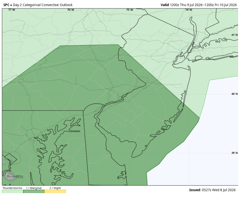
The image above is the Storm Prediction Center’s outlook for Thursday afternoon. Notice they have expanded the level 1 north. It now includes Philadelphia and the heavily populated I-95 corridor.
Weather Summary
The atmosphere will become increasingly unstable across the Philadelphia area on Thursday as heat and humidity build ahead of an approaching cold front. Scattered thunderstorms are expected to develop during the afternoon and evening, with some storms capable of becoming severe again.
The primary threats appear to be damaging straight-line winds, torrential downpours, frequent lightning, and localized flash flooding. An isolated hail threat cannot be ruled out either. Areas that have received heavy rainfall recently will be especially vulnerable to flooding if storms repeatedly move over the same locations.
Residents should closely monitor the forecast over the next 24 hours as the exact timing and intensity of the storms will become clearer. Have multiple ways of receiving weather warnings and be prepared to move indoors quickly if severe thunderstorms approach.
Thursday: 5:00pm Thursday: 7:00pm