



Delaware Valley
Monday’s A Stormy Day
A Flood Watch has been issued by the National Weather Service. This will expire Monday evening. Multiple rounds of downpours and thunderstorms will […]
Read More....Sunday Funday – Watch For A T’Storm
Today will feature a classic midsummer weather pattern across the Philadelphia area. Expect mostly cloudy skies for much of the day with warm, […]
Read More....Weekend Forecast
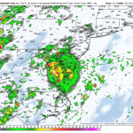
The image above is what the radar may look like around dinner time on Sunday as we’re tracking a slow-moving area of low […]
Read More....Could we be looking at another surge of heat?
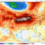
Weather Summary The pattern looks pretty interesting as we open up the month of August. Temperatures will likely start out pretty comfortable during […]
Read More....Much Quieter Today
The image above shows wind speeds later this afternoon. It will be a little breezy at times (WNW 10-20 mph). Weather Summary There […]
Read More....Severe Weather & Flooding Tuesday
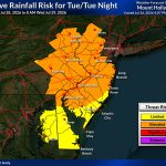
Weather Summary Tuesday has the potential to be one of those days that bears close watching across the Philadelphia area. A slow-moving cold […]
Read More....Tuesday Looks Stormy
The forecast for Tuesday continues to go downhill. The SPC (Storm Prediction Center) has now issued a level 2 severe weather risk for […]
Read More....What a beautiful stretch of weather coming up!
Weather Summary After weeks of unsettled weather, the Philadelphia area is about to enjoy a stretch of beautiful summer conditions! High pressure will […]
Read More....Spotty Severe Weather Wednesday – East of the City
The image above is off the high-resolution HRRR forecast model and is a look at what the radar may look like by 8pm. […]
Read More....Severe Threat Increasing Tuesday
The Storm Prediction Center has upgraded Tuesday’s severe weather risk to a level 3 (enhanced). We saw this on Saturday, and it turned […]
Read More....Keep An Eye On Tuesday
Weather Summary Tuesday has the potential to bring another round of strong to severe thunderstorms across parts of the northeast as a powerful […]
Read More....Back On Track
The second half of the weekend looks fantastic with sunshine and low humidity levels! A great day for outdoor activities, backyard barbecues, and […]
Read More....Saturday: Strong storms could produce a tornado or two
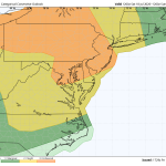
The image above is a rare level 3 severe risk for the Philadelphia area. A level 3 consists of numerous strong to severe […]
Read More....Stormy Saturday Afternoon And Evening
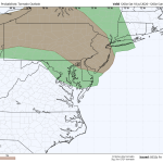
The image above is a look at the tornado threat Saturday afternoon and evening. Weather Summary Saturday is shaping up to be a […]
Read More....Heat and Smoke
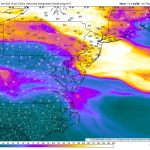
Wildfire smoke from Canada will create very unhealthy air quality across the Philadelphia region on Thursday, with the Pennsylvania Department of Environmental Protection […]
Read More....The Heat Is On!
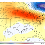
Wednesday will be one of the hottest and most uncomfortable days of the entire summer across the Delaware and Lehigh Valley’s. Temperatures will […]
Read More....Heat Building! It Could Get Awful Again!
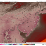
The image above is a look at potential heat index numbers by Wednesday afternoon as another heat pump ridge builds in from the […]
Read More....Finally Settling Down
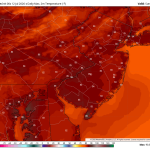
The image above is a look at Sunday’s high temperatures throughout the region. Mid 80s with low dewpoints is a nice treat during […]
Read More....Saturday’s Forecast – More T’Storms Are On The Way!
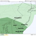
The image above is the severe weather outlook by the Storm Prediction Center. Dark green represents a level 1 risk, isolated threat. Weather […]
Read More....Isolated Severe Weather Friday
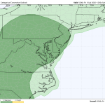
Today should be a quieter day around the Delaware and Lehigh Valley’s. There’s still a chance of a thunderstorm out there, and it […]
Read More....Thursday’s Severe Weather Threat Increasing
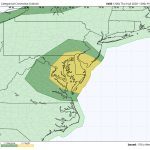
As expected, the Storm Prediction Center has upgraded Thursday’s severe weather threat from a level 1 to a level 2. Most CAMs guidance […]
Read More....










