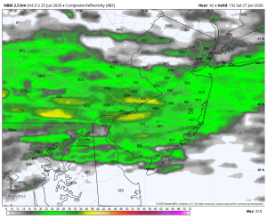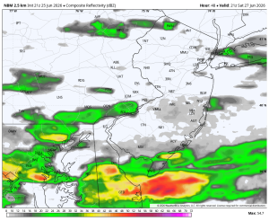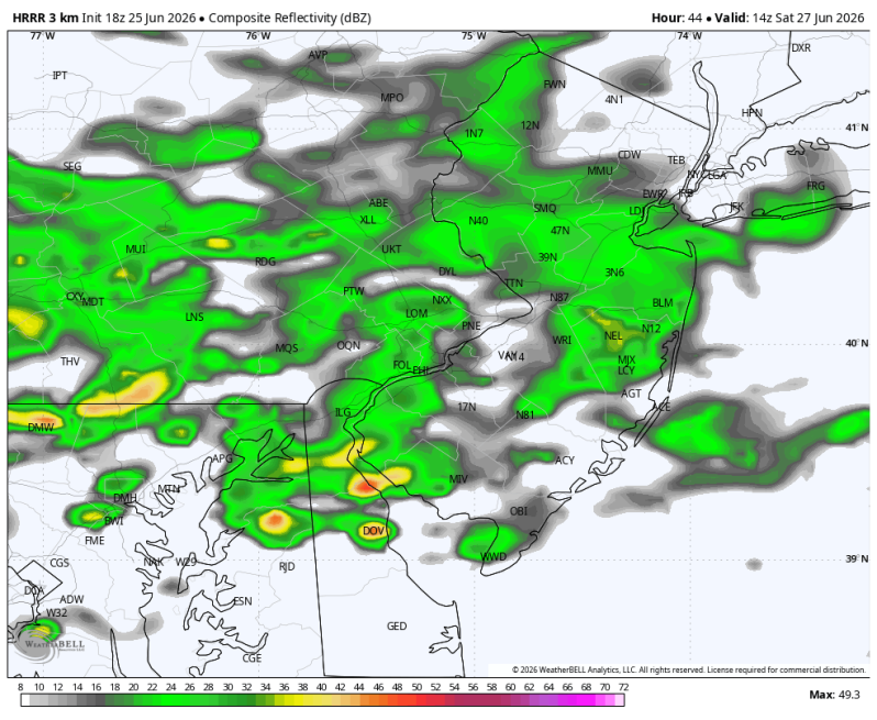
The image above is what the radar may look like Saturday morning.
Weather Update
Sunday by far looks like the better of the two weekend days. If you’re still planning out your weekend, keep the outdoor stuff on Sunday and look for indoor activities on Saturday. There’s a chance that Saturday ends up being a little dryer than recent computer guidance would suggest. But as of now I would stick with Sunday if you’re looking to make outdoor plans.
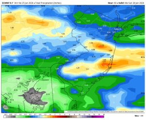
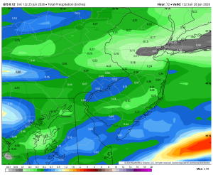
As of this writing the system that brings the wet weather to the area is near Kansas City, Missouri. It will push east into the Ohio Valley tomorrow, then hit the east coast on Saturday. Global models are putting up decent numbers with the ECMWF printing out over an inch of rain in parts of the area. The GFS is a bit little lighter (half inch).
One thing that is important to point out is it will not be raining all day. As a matter of fact, there may be a decent stretch during the afternoon that ends up dry. Most of the guidance is now starting to show just the morning being wet.
Sunday looks much better and warmer with the return of some sunshine and highs in the mid 80s! There could be a spotty shower or thunderstorm north and west but overall expect a ton of dry time!
Saturday Rain Totals
European Model GFS Model
Saturday: 11:00am Saturday 5:00pm