




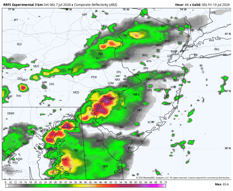
The image above is what the radar might look like Thursday afternoon. This would be our next chance for severe weather. Until then, a much needed break.
Weather Summary
After days of relentless thunderstorms, flash flooding, and severe weather across the Philadelphia area, a much-needed pattern change is finally taking shape. The atmosphere is beginning to settle down as the jet stream shifts northward and a more stable air mass builds into the region.
While an isolated shower or thunderstorm can’t be completely ruled out, the widespread flooding rains and frequent severe weather threats that have dominated the headlines recently are expected to become far less common over the coming days. Residents across the northeast will finally have an opportunity to dry out, clean up, and catch their breath after a very active stretch of weather.
The quieter pattern should also bring more sunshine, lower humidity at times, and several consecutive days with fewer weather-related disruptions. Rivers and streams will still need time to recede in some areas, and any additional rainfall could still cause localized issued where the ground remains saturated. However, the overall trend is encouraging, with calmer weather expected to take control as we move deeper into the week.
The next threat for heavy thunderstorms will be Thursday and Friday.





