



Delaware Valley
Severe Weather & Flooding Tuesday
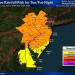
Weather Summary Tuesday has the potential to be one of those days that bears close watching across the Philadelphia area. A slow-moving cold […]
Read More....Tuesday Looks Stormy
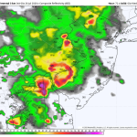
The forecast for Tuesday continues to go downhill. The SPC (Storm Prediction Center) has now issued a level 2 severe weather risk for […]
Read More....What a beautiful stretch of weather coming up!
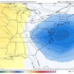
Weather Summary After weeks of unsettled weather, the Philadelphia area is about to enjoy a stretch of beautiful summer conditions! High pressure will […]
Read More....Spotty Severe Weather Wednesday – East of the City
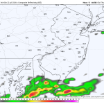
The image above is off the high-resolution HRRR forecast model and is a look at what the radar may look like by 8pm. […]
Read More....Severe Threat Increasing Tuesday
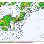
The Storm Prediction Center has upgraded Tuesday’s severe weather risk to a level 3 (enhanced). We saw this on Saturday, and it turned […]
Read More....Keep An Eye On Tuesday
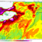
Weather Summary Tuesday has the potential to bring another round of strong to severe thunderstorms across parts of the northeast as a powerful […]
Read More....Back On Track
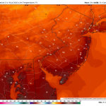
The second half of the weekend looks fantastic with sunshine and low humidity levels! A great day for outdoor activities, backyard barbecues, and […]
Read More....Saturday: Strong storms could produce a tornado or two
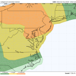
The image above is a rare level 3 severe risk for the Philadelphia area. A level 3 consists of numerous strong to severe […]
Read More....Stormy Saturday Afternoon And Evening
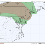
The image above is a look at the tornado threat Saturday afternoon and evening. Weather Summary Saturday is shaping up to be a […]
Read More....Heat and Smoke
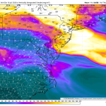
Wildfire smoke from Canada will create very unhealthy air quality across the Philadelphia region on Thursday, with the Pennsylvania Department of Environmental Protection […]
Read More....


