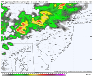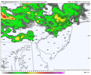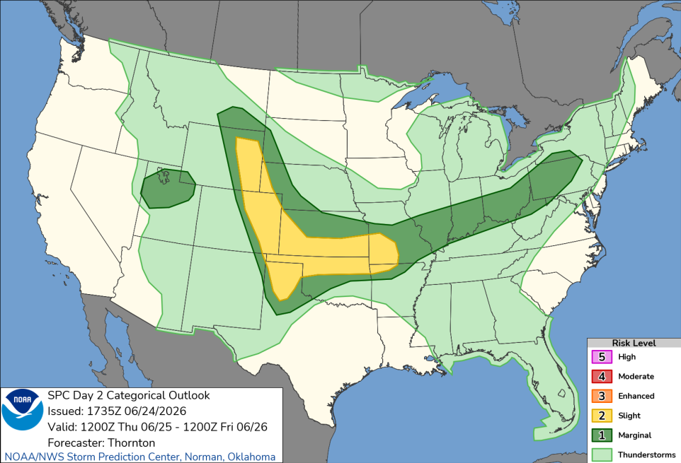
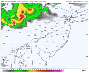
The image above is a look at Thursday’s severe weather threat. As of now it is west of the Philadelphia area.
Weather Summary
Thursday looks like another nice day overall around the Delaware Valley, but the evening could get a little tricky across the far western counties as a prefrontal trough swings through. A prefrontal trough is an elongated area of lower pressures and converging winds out ahead of a cold front. These boundaries usually act as a trigger for thunderstorm development before the actual cold front arrives. As for this one, there could be a couple of heavier thunderstorms out there, but the severe threat looks to be west of the Philadelphia television market at this time.
So just as the sun is going down, we could see a few heavier thunderstorms erupt in places like Lancaster, Reading, Allentown and the Poconos. These storms will weaken dramatically though as they shift east into more stable air near the I-95 corridor. So much so that places like Philadelphia, Wilmington and Trenton may see nothing more than a passing shower out of it.
Dewpoints should stay on the comfortable side (under 60). But they’ll begin to rise late Thursday night into Friday morning. Expect high temperatures to top out in the upper 80s.
Thursday: 6pm Thursday: 8pm
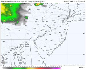
Thursday: 10pm Thursday: Midnight