



My Analysis
Sunday’s Beach Report – Beautiful

Weather Summary Sunday looks absolutely beautiful at the Jersey shore with plenty of sunshine, comfortable humidity levels and warm summer temperatures. Afternoon highs […]
Read More....Saturday: Strong storms could produce a tornado or two
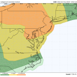
The image above is a rare level 3 severe risk for the Philadelphia area. A level 3 consists of numerous strong to severe […]
Read More....Saturday’s Beach Forecast – Severe Weather Possible Late

Weather Summary If you’re heading to the Jersey shore on Saturday, I’d plan on getting to the beach early. Even though there could […]
Read More....Stormy Saturday Afternoon And Evening
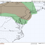
The image above is a look at the tornado threat Saturday afternoon and evening. Weather Summary Saturday is shaping up to be a […]
Read More....Friday’s Beach Forecast – Still Smokey

We’re still dealing with quite a bit of wildfire smoke out there so it would be a good idea to limit the time […]
Read More....Heat and Smoke
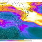
Wildfire smoke from Canada will create very unhealthy air quality across the Philadelphia region on Thursday, with the Pennsylvania Department of Environmental Protection […]
Read More....Thursday’s Beach Report – Smokey

The image above is a look at the wildfire smoke tomorrow morning. Unlike the elevated round of smoke we saw on Tuesday, this […]
Read More....The Heat Is On!
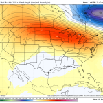
Wednesday will be one of the hottest and most uncomfortable days of the entire summer across the Delaware and Lehigh Valley’s. Temperatures will […]
Read More....Wednesday’s Beach Report- Toasty

The image above is a look at the wildfire smoke tracker for Wednesday. The majority of the smoke will stay to our north […]
Read More....Tuesday’s Beach Report

The image above is a look at Tuesday’s wave heights. We’re generally looking at 2-3 foot waves with isolated higher wave heights north […]
Read More....Heat Building! It Could Get Awful Again!
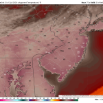
The image above is a look at potential heat index numbers by Wednesday afternoon as another heat pump ridge builds in from the […]
Read More....Monday’s Beach Forecast – Splendid!

The image above is a look at a weak sea breeze developing Monday afternoon. This will help keeps temps near 80 degrees on […]
Read More....Finally Settling Down
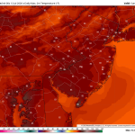
The image above is a look at Sunday’s high temperatures throughout the region. Mid 80s with low dewpoints is a nice treat during […]
Read More....Sunday’s Beach Report – Much Better!

The image above is a look at the lowering dewpoints Sunday afternoon. It will feel much better out there combined with the sea […]
Read More....Saturday’s Forecast – More T’Storms Are On The Way!
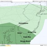
The image above is the severe weather outlook by the Storm Prediction Center. Dark green represents a level 1 risk, isolated threat. Weather […]
Read More....Saturday’s Beach Forecast

The image above is what the radar may look like by 5pm Saturday Weather Summary The first part of the day looks pretty […]
Read More....Isolated Severe Weather Friday
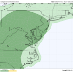
Today should be a quieter day around the Delaware and Lehigh Valley’s. There’s still a chance of a thunderstorm out there, and it […]
Read More....Friday’s Beach Forecast

Another round of heavy storms ripped through the Delaware Valley yesterday producing widespread flash flooding and isolated areas of wind damage. Even the […]
Read More....Heavy Evening Thunderstorms

Weather Summary If you’re heading to the beach today expect a mixture of sun and clouds and a light southerly wind. It may […]
Read More....Thursday’s Severe Weather Threat Increasing
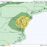
As expected, the Storm Prediction Center has upgraded Thursday’s severe weather threat from a level 1 to a level 2. Most CAMs guidance […]
Read More....El Nino Strengthens – Impacts On The Atlantic Hurricane Season
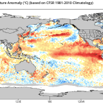
Here’s The Latest Sea surface temperatures across the central and eastern equatorial Pacific Ocean have warmed significantly, with El Nino conditions firmly established […]
Read More....











