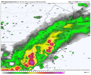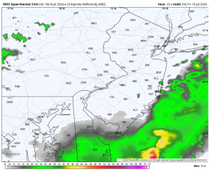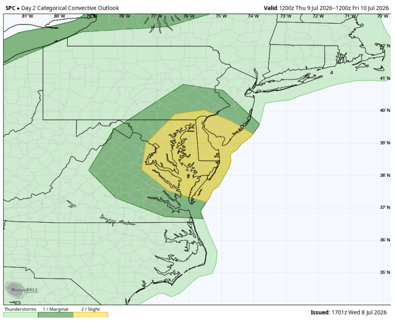
As expected, the Storm Prediction Center has upgraded Thursday’s severe weather threat from a level 1 to a level 2. Most CAMs guidance (Convection Allowing Models) show a cluster of heavy thunderstorms moving from west to east across the yellow shaded area.
Damaging straight-line winds will be the primary threat. But we also have to watch for flash flooding again. Especially if these storms end up hitting the same areas that were pounded on Monday.
Timing: 1-10pm from west to east across the coverage area.
Below is what the radar may look like Thursday afternoon and evening.
1pm 4pm
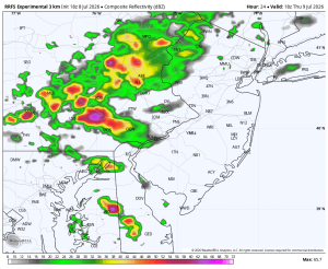
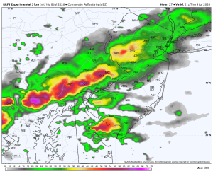
7pm 11pm