Weather Summary
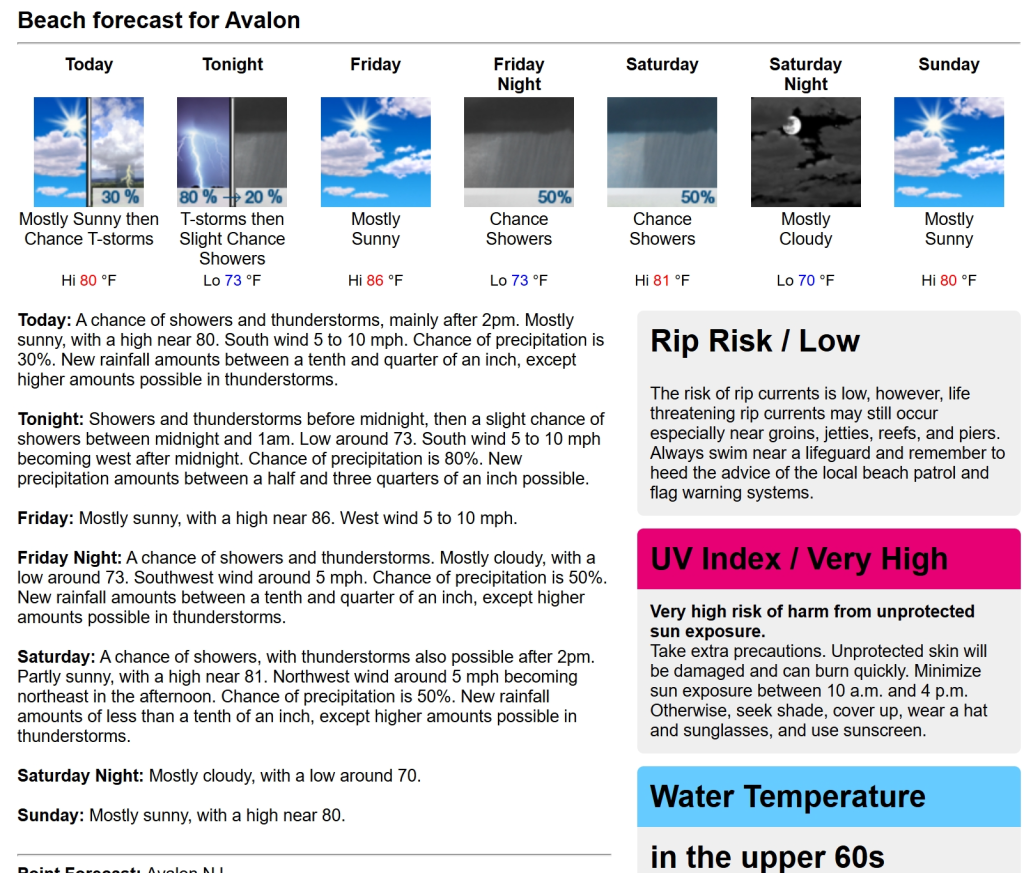
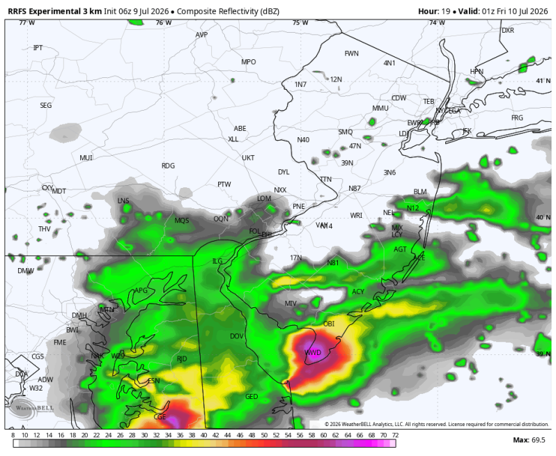
If you’re heading to the beach today expect a mixture of sun and clouds and a light southerly wind. It may not be a perfectly sunny day from start to finish, but overall, it looks like another nice day! Dinner plans look a little different. I would definitely keep an umbrella close by. Heavy thunderstorms will be pushing through the coverage area during the evening commute. Some of these storms will be strong to severe. Over the past couple of weeks these storms have had a tendency to fizzle out before they make it to the beaches. I think things will be a little different down there though this time around.
There is an elevated threat (level 2 out of 5) for severe weather late this afternoon and evening from Seaside Heights southward through Brigantine, Sea Isle City, Wildwood and the Delaware Beaches. Make sure you have multiple ways of receiving warnings.
Beach Forecast
UV Index: Very High
Temperature: 78
Winds: South 5-15 mph
Rip Current Risk: Low (Moderate north of Brigantine)
Ocean Temperature: 67
T’Storm Threat: 30% (Late afternoon/ evening)
Boating Forecast
Winds: S 10-15 kts.
Seas: 2-3 ft.
High Tide Time
Beach Haven Coast Guard Station: 4:56pm
Atlantic City: 3:25pm
Ocean City 9th St. Bridge: 4:15pm
Cape May Harbor: 3:58pm
Dewey Beach: 3:24pm
Fortescue: 5:33pm