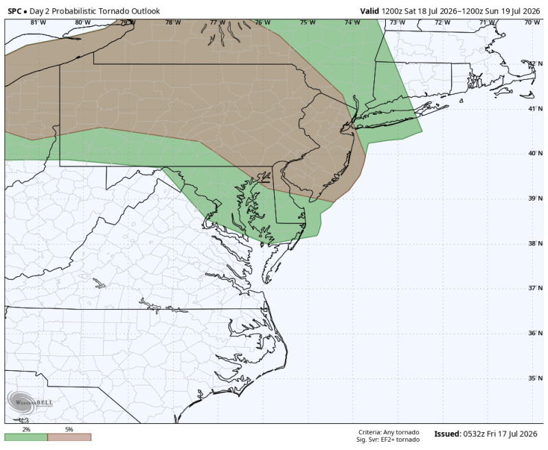
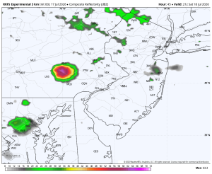
The image above is a look at the tornado threat Saturday afternoon and evening.
Weather Summary
Saturday is shaping up to be a very active weather day around the region. Especially for areas west of the Delaware River and into central Pennsylvania. The Storm Prediction Center has issued a severe weather risk 2 out of 5. This means widespread organized coverage of strong thunderstorms is likely to develop. All hazards are in play including strong, damaging winds, tornadoes, large hail, flash flooding and frequent cloud to ground lightning strikes. While not everyone will see severe weather, any storm that forms could quickly strengthen, giving little lead time.
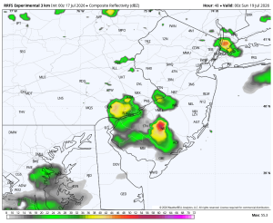
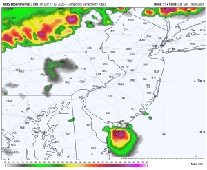
While a couple of thunderstorms may develop earlier in the day, the radar should become more active during the late afternoon and evening hours. Some of the latest data coming in actually keeps it quiet through 5pm. So, we’ll see. I do believe the radar will be more active than what the current data shows below, but as of now, this is what the RRFS (Rapid Refresh Forecast System).
Potential timing below…
2:00pm 5:00pm
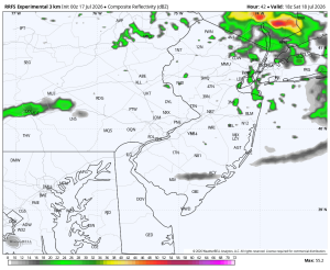
8:00pm 11:00pm