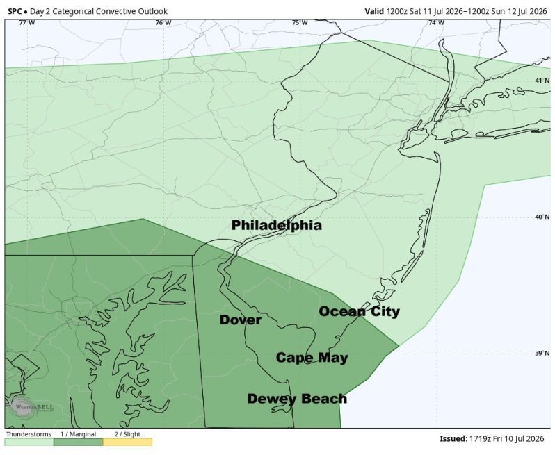
The image above is the severe weather outlook by the Storm Prediction Center. Dark green represents a level 1 risk, isolated threat.
Weather Summary
Another round of thunderstorms and downpours are on the way Saturday afternoon as a disturbance swings through the region. With lowering dewpoints, flash flooding should not be a problem this time around. There could, however, be a couple of severe storms out there with winds up to 60mph. The Storm Prediction Center is trying to peg down the level 1 severe risk area (dark green) and right now has it confined to the Delaware Bay and points south. But it will not surprise me if they end up expanding this a little farther north in future updates, possibly including the city of Philadelphia.
Otherwise, we’re looking at a clouds, some sun type day with temperatures pretty close to seasonal averages. Look for a high in Philadelphia of about 86 degrees or so.
Also, watch the patchy fog early Saturday morning. Some of it could be rather dense.
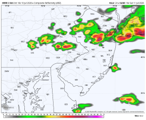
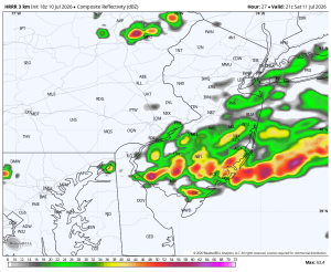
Below is what the radar may look like Saturday afternoon. The movement is from northwest to southeast.
2pm Saturday 5pm Saturday