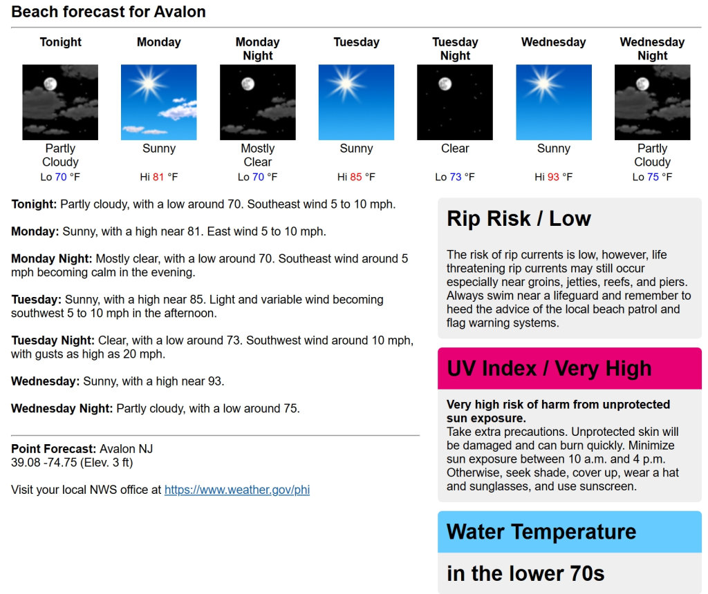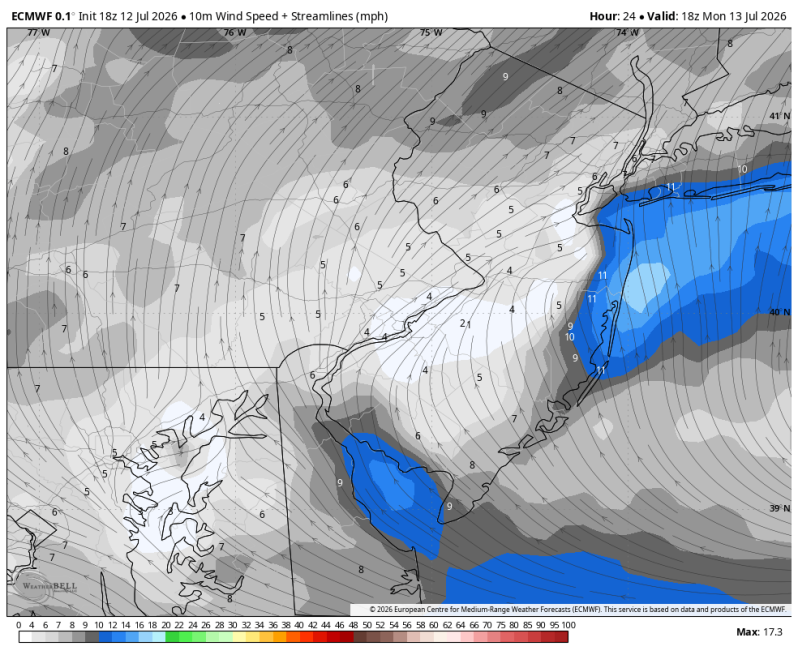
The image above is a look at a weak sea breeze developing Monday afternoon. This will help keeps temps near 80 degrees on the sand.
Weather Summary
The weather pattern will remain very quiet over the next few days. As of this writing, we’re looking at sunshine through the end of the week. So, from that point of view we’re looking good. But a building ridge and a land breeze will heat things up in a big way by mid-week. Temperatures, even on the sand, will top out in the 90s with heat index numbers near 100 degrees.
Beach Forecast
UV Index: Very High
Temperature: 81
Wind: E 5-10 mph
Rip Current Risk: Low
Ocean Temperature: 70
Boating Forecast
Winds: SE 5-10 kts.
Wave Heights: 2 to 3 ft.
High Tide Times
Barnegat Inlet: 6:18am, 6:41pm
Atlantic City: 6:00am, 6:29pm
Ocean City 9th St. Bridge: 6:58am, 7:21pm
Townsend Inlet: 6:26am, 7:03pm
Cape May, 6:34am, 7:03pm
Rehoboth Beach: 6:10am, 6:50pm
Fortescue: 7:57am, 8:31pm