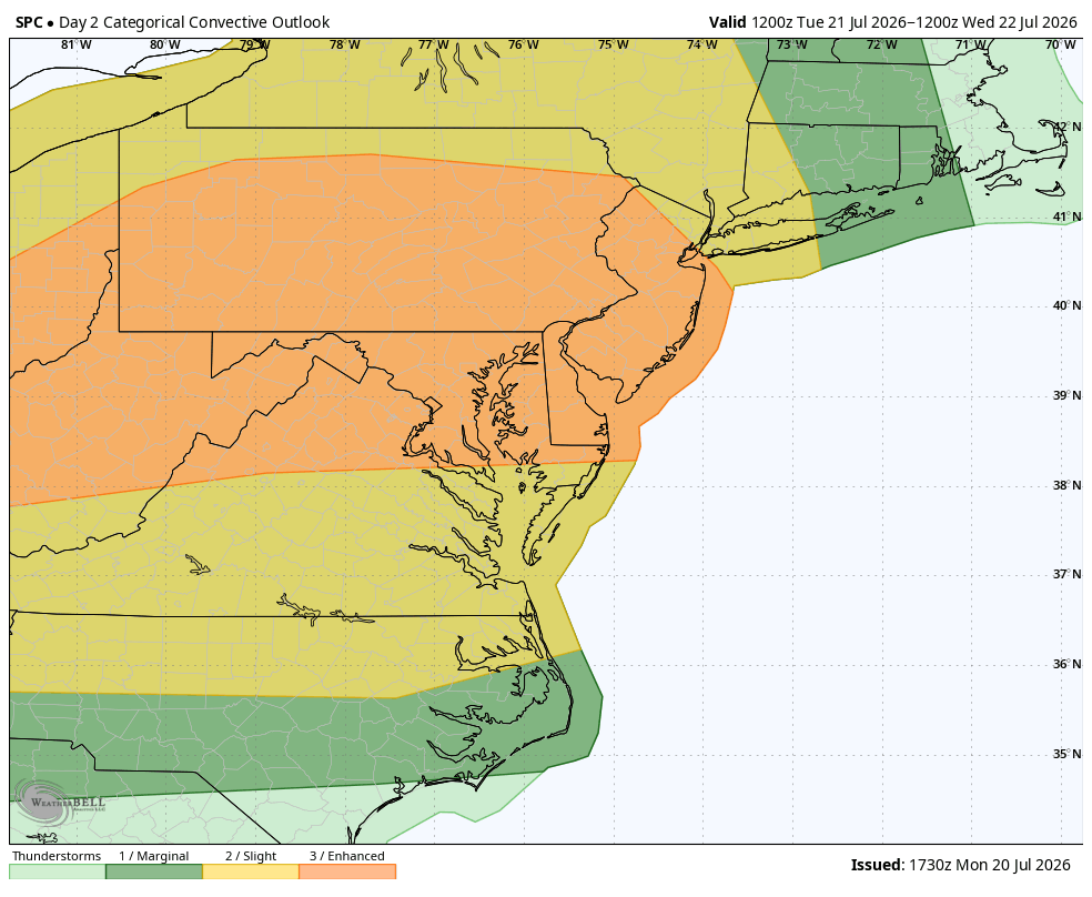
The Storm Prediction Center has upgraded Tuesday’s severe weather risk to a level 3 (enhanced). We saw this on Saturday, and it turned out to be a very active day. When all the numbers were tallied up, there were 22 severe thunderstorm warnings, 9 flash flood warnings and 1 tornado warning. Thankfully it was the outskirts of the Philadelphia television market that were hit the hardest and not the heaviest populated areas of the I-95 corridor.
This will likely be different because of an incredibly powerful low level jet roaring just off the deck (5,500 feet). The low-level jet (LLJ) is a ribbon a fast-moving air that enhances lift which is needed to produce storms. The stronger this process, the stronger the storms tend to be. Winds are being progged at 60-70 knots at this level on the latest computer guidance.
All hazards are in play including damaging straight-line winds, tornadoes, large hail and flash flooding. The far western counties and central Pennsylvania are the areas that have the best chance of seeing tornadoes out of this.
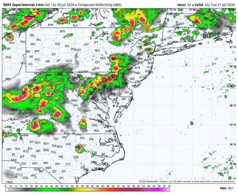
As for timing, there could be a couple of downpours and thunderstorms early in the day, but the main event looks to hold off until the evening commute. So, it could be a very slow ride home.