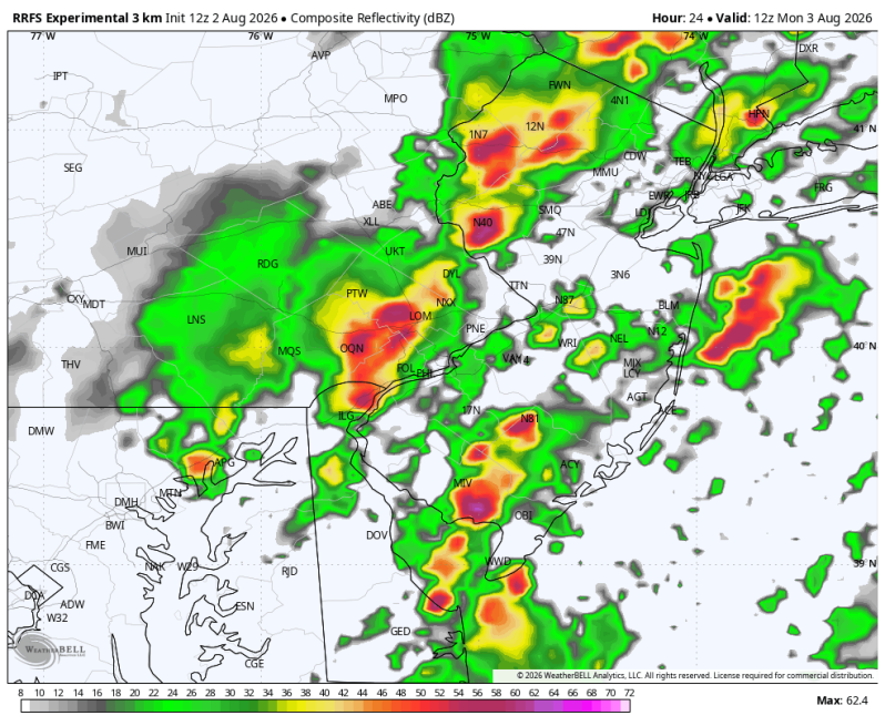
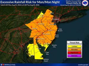
A Flood Watch has been issued by the National Weather Service. This will expire Monday evening. Multiple rounds of downpours and thunderstorms will move through the region Monday produce huge rainfall rates of 1-3″ per hour. This will likely lead to localized areas of flash flooding. Especially in urban and poor drainage areas, creeks and streams. The WPC (Weather Prediction Center) has upgraded the flood risk to a level 2 out of 4. They’ve also expanded this area to include a large part of the Garden State.
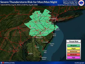
There’s also a low-end severe weather risk to go along with the flash flood risk. The SPC (Storm Prediction Center) has issued a level 1 out of 5. This means isolated areas of severe weather are possible from 12pm to 8pm. Strong wind gusts would be the primary threat.
As for timing… most of this should occur before midday. But a secondary round will develop during the afternoon out ahead of a boundary dropping down from the north.
Excessive Rainfall Risk – Monday/Monday Night
Severe Weather Risk – Monday/Monday Night