Weather Summary
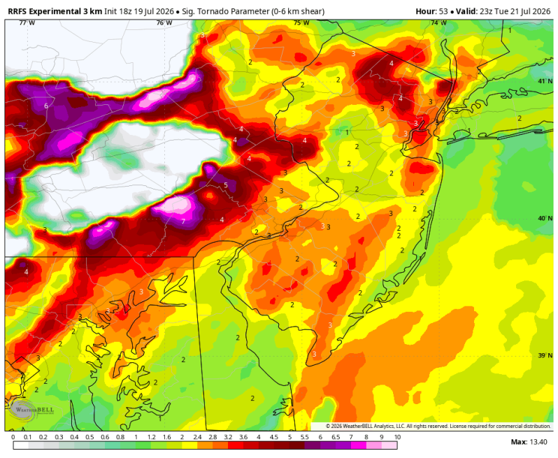
Tuesday has the potential to bring another round of strong to severe thunderstorms across parts of the northeast as a powerful cold front pushed through the region. While it’s still some time away, and the exact placement of the greatest risk may shift, the overall set up is becoming increasingly favorable for organized thunderstorms capable of producing damaging winds, torrential downpours, frequent lightning and a few tornadoes (Storm Prediction Center).
The greatest concern at this point appears to be strong, potentially damaging winds as thunderstorms organized into clusters or line segments during the afternoon and evening.
Flash flooding could end up being a problem again as well.
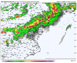
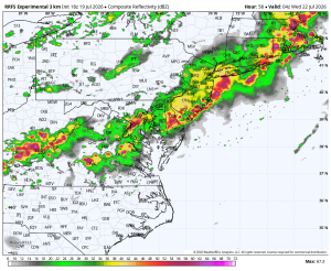
Potential Timing
6pm Tue 8pm Tue
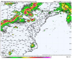
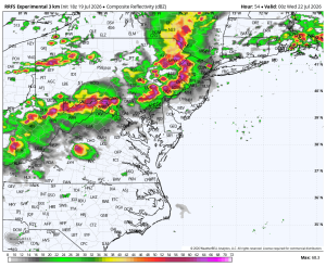
10pm Tue Midnight