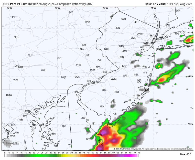
The image above is off the RRFS (Rapid Refresh Forecast System) which shows a couple of showers and thunderstorms developing this afternoon near the beaches.
Thursday’s Severe Weather Recap
Yesterday was a pretty wild day around the Delaware and Lehigh Valley’s. In all we had 28 flood/flash flood warnings, 14 severe thunderstorm warnings and 2 tornado warnings. Just a week prior we had the tornado outbreak with five tornado touch downs and straight-line wind up to 80 mph in parts of the area. This is all a product of the super El Nino that has developed in the equatorial waters in the Pacific. We’ve talked about this extensively over the past couple of months and whether or not this pattern will continue. History tells us that it will. Maybe not to the extent of what we’ve been dealing with lately, but the pattern will likely remain active
Today’s Forecast
Today will be a quieter day. There still could be a couple of afternoon showers and thunderstorms out there, especially during the afternoon. But we’re not expecting a repeat of yesterday. The best chance of running into a couple of thunderstorms will be down at the Jersey Shore and the Delaware beaches (Cape May, Atlantic, Ocean and Sussex counties).
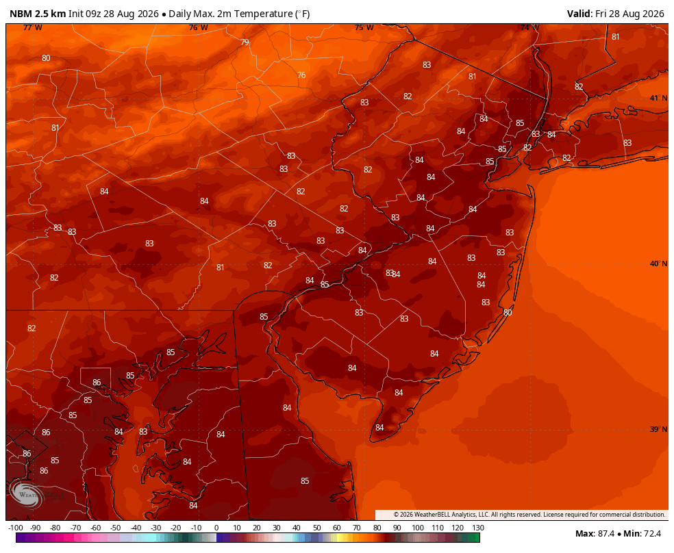
Temperatures will top out in the mid 80s this afternoon with dewpoints in the upper 60s (muggy).
North winds 5 mph