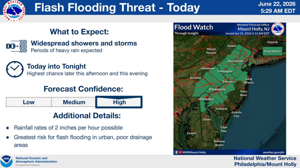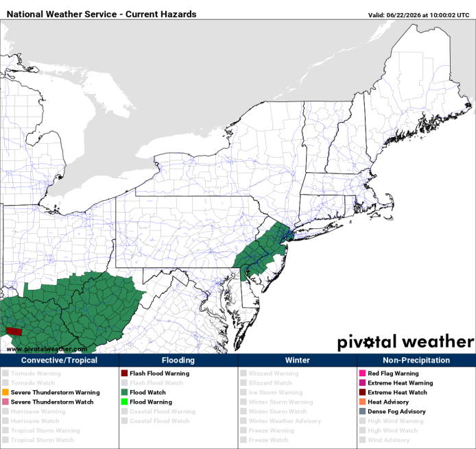
A flash flood watch has been issued this afternoon for the I-95 corridor from New York City to Wilmington and roughly 25-30 miles on either side of the Delaware River.
Active thunderstorms will produce torrential downpours with rainfall rates of 1-2 inches per hour. If storms move over the same locations, localized totals could become significantly higher.
Areas most vulnerable
- Urban areas
- Poor drainage neighborhoods
- Small streams and creeks
- Roadways that frequently flood during heavy rain events
Remember flash flooding can occur quick when rainfall rates exceed what storm drains and waterways can handle.
Timing:
- Early afternoon: Spotty showers and thunderstorms begin developing
- Evening Commute: Highest threat for heavy rain and flash flooding
- Overnight: Any lingering storms may continue to produce localized flooding before conditions gradually improve.
Threat Level
The Weather Prediction Center’s Excessive Rainfall Outlook indicates a meaningful risk of flash flooding across portions of the Mid-Atlantic and Delaware Valley today. A flood watch means conditions are favorable for flash flooding, especially where the heaviest thunderstorms occur.
Summary
For the Delaware Valley, the primary concern is localized but potentially significant flash flooding, especially during the evening commute. Not everyone will see flooding, but some unlucky locations may end up seeing training (storms moving over the same areas over and over). In these locations portions of some roads could become impassable in a short amount of time. Damaging winds and frequent lightning may accompany strongest storms as well.