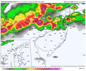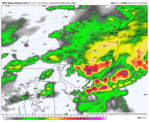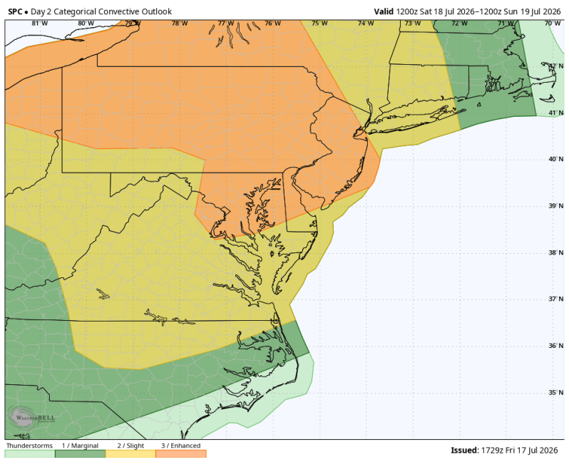
The image above is a rare level 3 severe risk for the Philadelphia area. A level 3 consists of numerous strong to severe storms that will have the capability of producing extensive wind damage and tornadoes.
Weather Summary
Saturday still looks like a very active day around the Delaware and Lehigh Valley’s as a strong cold front plow into a hot, humid and increasingly unstable airmass. While the morning may feature only scattered showers and plenty of clouds, the atmosphere is expected to become more favorable for stronger thunderstorms during the late afternoon and evening. The greatest concern is for a line or clusters of severe storms capable of producing damaging straight-line winds, torrential rainfall leading to localized flash flooding, frequent lightning and an isolated tornado.
Not everyone will experience severe weather, but everyone should be prepared for rapidly changing conditions. Storms will be capable of producing wind gusts strong enough to knock down trees and power lines, resulting in scattered power outages. Rainfall rates could become intense in a short amount of time, causing poor drainage flooding and localized flash flooding, especially in urban and low-lying areas. If you have outdoor plans Saturday afternoon and evening, keep a close eye on the forecast and have multiple ways to receive weather warnings.
The good news is that once the cold front sweeps through Saturday night, much more comfortable air will pour into the Delaware Valley. Sunday looks fantastic, with sunshine, noticeably lower humidity, cooler temperatures, and a refreshing breeze – making it a great day outside after Saturday’s stormy weather.
Timing
4pm 7pm
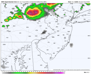
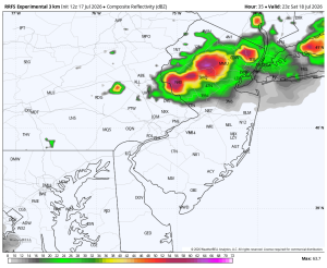
10pm 1am Sunday