



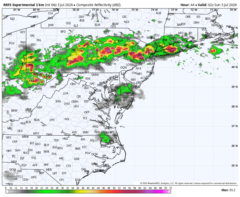
Weather Summary
For those of us in the Mid-Atlantic, we’re entering a pattern that favors scattered rounds of strong to severe thunderstorms each afternoon and evening through the holiday weekend. While not everyone will see storms every day, any storm that develops could become intense thanks to oppressive heat, high humidity, and serious of mid to upper-level disturbances riding along the northern edge of the heat dome.
Friday: The greatest concern will be for damaging straight-line winds, capable of bringing down trees and power lines. Torrential downpours, frequent lightning, and isolated large hail are possible. Storms will be scattered, meaning some neighborhoods stay dry while others experience rapidly changing weather.
Friday’s Severe Weather Outlook
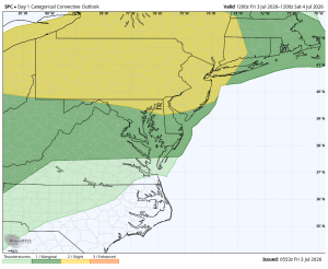
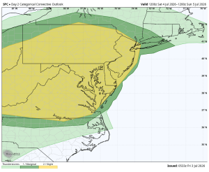
Saturday (July 4th): Another hot and unstable afternoon is expected, with scattered thunderstorms developing during the late afternoon and evening. Like Friday, any storm that forms could produce winds gusts over 65 mph, dangerous lightning, and localized flash flooding. Outdoor holiday celebrations and fireworks may need to be adjusted if storms approach.
Saturday’s Severe Weather Outlook
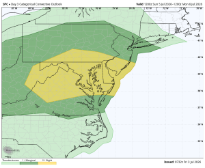
Sunday: The unsettled pattern continues as another disturbance moves through. Scattered thunderstorms are expected once again, with the primary hazards remaining damaging winds, torrential rain and frequent cloud-to-ground lightning. Areas that receive repeated storms could experience localized flooding.
Sunday’s Severe Weather Outlook
The bottom line is that this is not expected to be a nonstop washout stretch, but it will be a weekend where everyone across the area should keep a close eye on sky conditions. With temperatures in the 90s to near 100 degrees and tropical humidity, the atmosphere will have plenty of fuel for storms to strengthen quickly. Have multiple ways to receive weather warnings and be prepared to head indoors immediately if thunder is heard or severe weather warnings are issued.





