Weather Summary
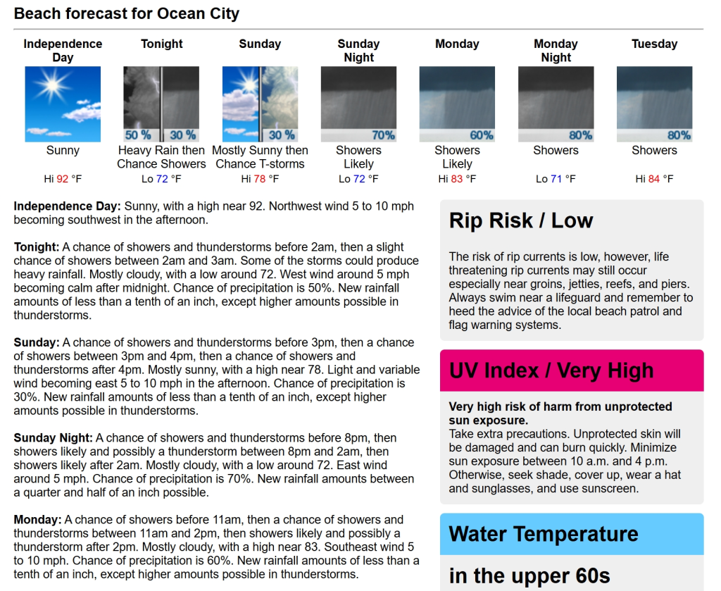
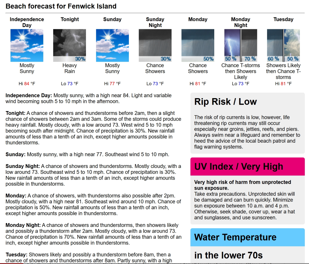
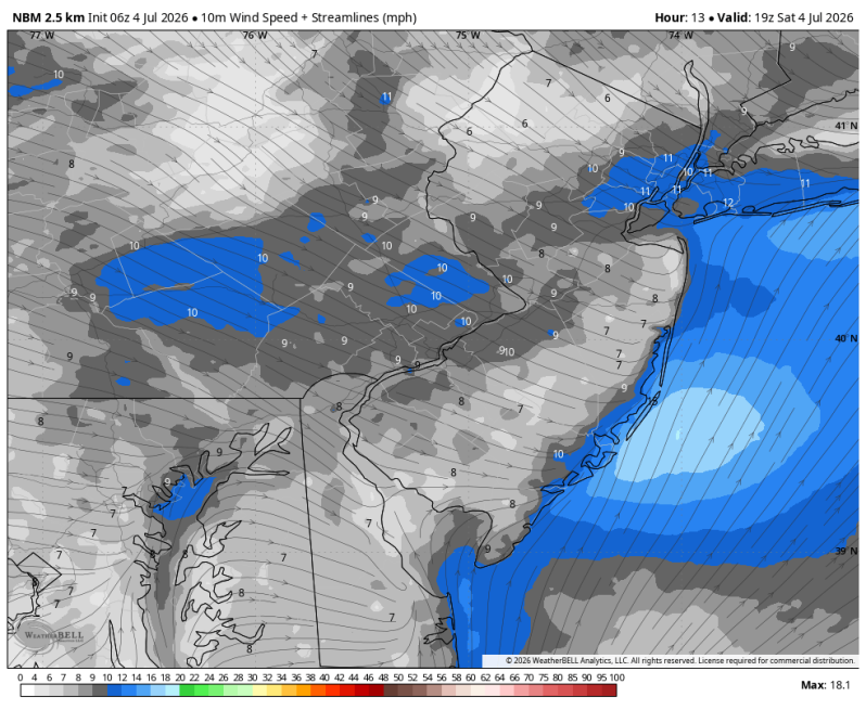
Happy 4th of July everyone! If you’re down at the shore or Delaware beaches today, it’s going to be another hot one out there with high temperatures in the 90s and heat index values near 100. Like yesterday, a sea breeze may try to kick in at some point later in the day, but temperatures will skyrocket before it develops.
Severe Weather Threat
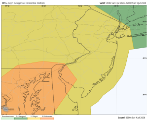
No issues expected this afternoon. However, heavy thunderstorms are possible this evening after 8pm. Mainly from Atlantic City, south through Cape May and the mouth of the Delaware Bay. The Storm Prediction Center has issued a rare level 3 ENHANCED RISK for areas shaded in orange in the image below. We only see this kind of a threat in the Philadelphia area maybe twice a year. So, there’s the potential things could get a little rough this evening for inland areas west of Fortescue, Cumberland County. The SPC is very concerned about damaging straight-line wind potential. Yesterday we had a few thunderstorms produce wind gusts up t0 80 mph across northern New Jersey. Lots of tree damage up there and some power outages. It’s not out of the question that we could see that same thing happen again this evening.
Beach Forecast
UV Index: Very High
Temperature: Low 90s, Heat Index near 100
Winds: Becoming SW 5-10 mph
Lightning Threat: After 8pm
Rip Current Risk: Low
Ocean Temperature: 68
Boating Forecast
Winds: AM West 5 kts., PM Southwest 10-15 kts.
Seas: 2-3 ft.
High Tide Times:
- Beach Haven: 12:52pm
- Atlantic City: 11:08am
- Ocean City: 11:55am
- Townsend Inlet: 11:39am
- Cape May Harbor: 11:41am
- Dewey Beach: 11:30am
- Fortescue: 1:13pm