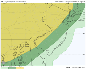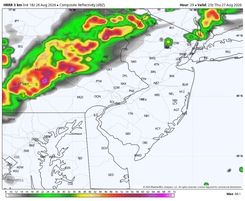
Thursday has the potential to be a very stormy day in parts of the area.
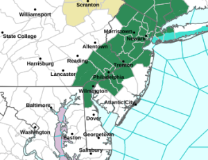
FLOOD WATCH
First up the Flood Watch. This has been issued for the I-95 corridor from Thursday afternoon through late Thursday night. Some of these thunderstorms could produce 1-2 inches of rain with isolated heavier amounts of 3-5 inches. All of this falling in a short period of time which will likely cause excessive runoff and flash flooding for some areas. The areas of greatest concern include poor drainage, low lying and urban areas.
LEVEL 2 SEVERE T’STORM RISK
Next up is the level 2 severe weather risk that has been issued for the I-95 corridor and areas north and west. Some of these thunderstorms could pack quite a punch again. All hazards are in play including hail, strong gusty winds and tornadoes.
Timing: 2-10pm