Weather Summary
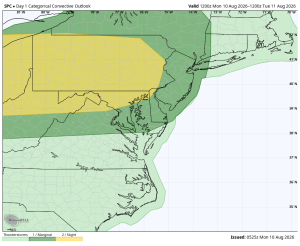
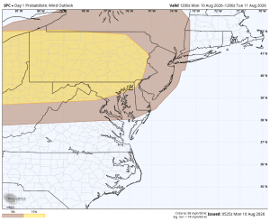
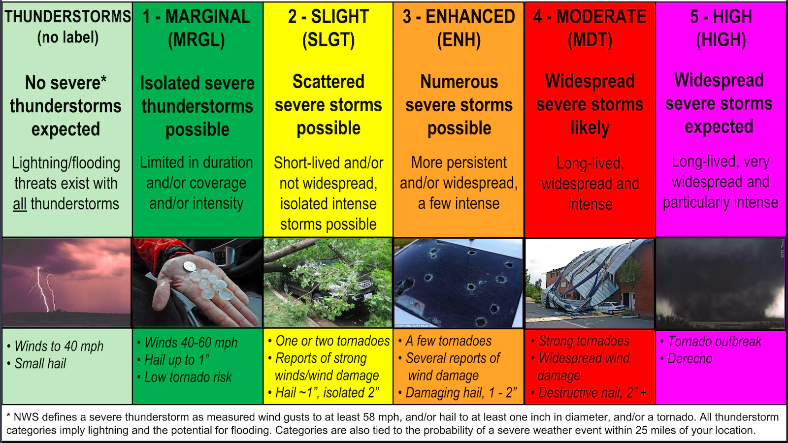
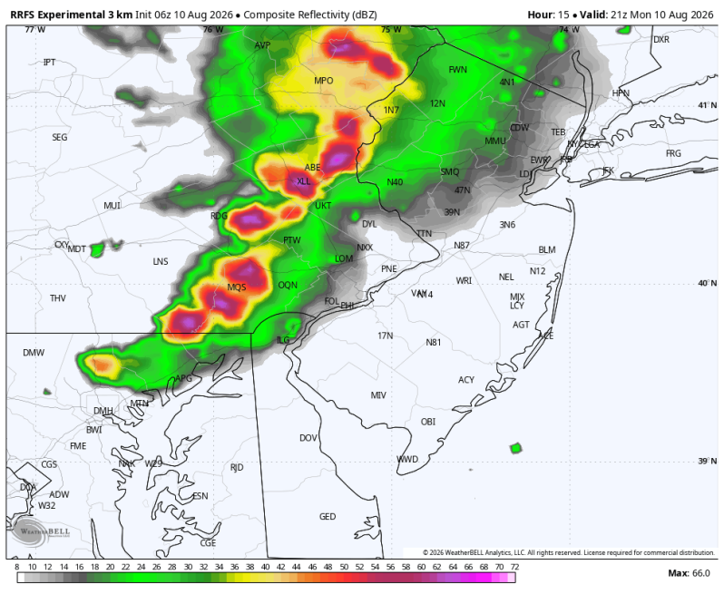
It looks like yet another stormy later afternoon/evening across the Delaware and Lehigh Valley’s with the SPC upgrading a large part of the area to a level 2 out of 5 (scattered). Scattered, intense thunderstorms are expected in the yellow polygon with winds between 65-70 mph. A more isolated, or spotty threat exists in the dark green polygon. Because of the speed in which these storms are expected to travel, the flash flood threat should be kept down to a minimum. This appears to be mainly a strong, straight-line wind event.
Some of the towns that have the best chance of seeing severe weather today include Lancaster, Reading, Allentown, Bethlehem, the Poconos, Quakertown, Lansdale, West Chester, Boyertown, Fleetwood, Pottstown, Hockessin, Wilmington, Newark, Oxford, Honey Brook and Downingtown.
Categorical – Level 2 = Yellow Wind Threat (Best Chance = Yellow)