Weather Summary
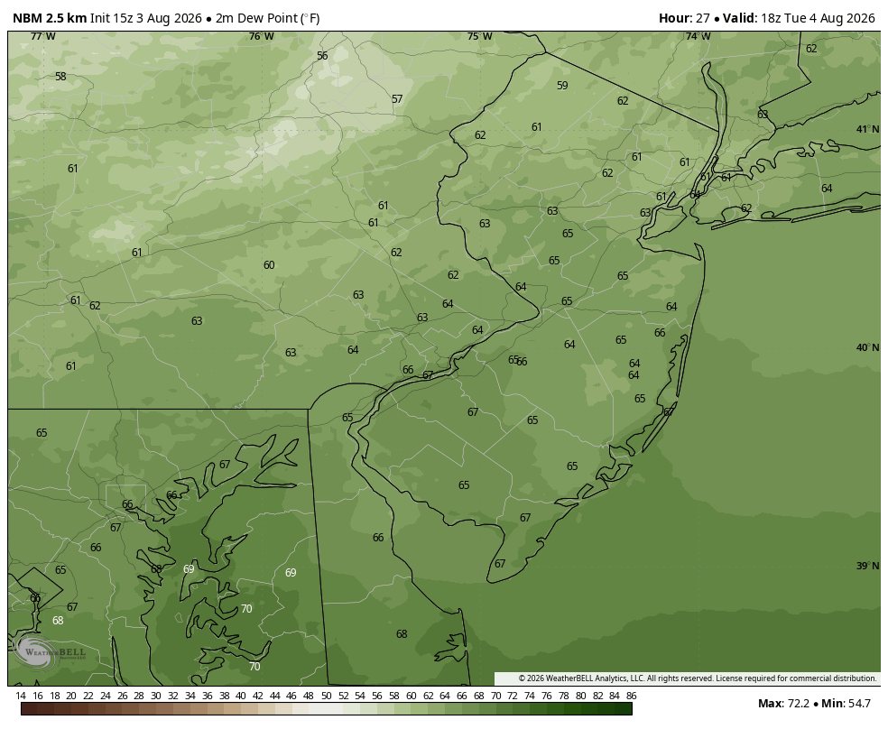
We’re looking at one day this entire week where we’ll catch a break from the oppressive, south Florida-like tropical humidity. That day is Tuesday as a cold front sweeps through the area knocking the dewpoints down. Tuesday is still a very warm day with highs in the upper 80s. But with the dewpoints pulling back into the low to mid 60s, it will feel much more comfortable out there.
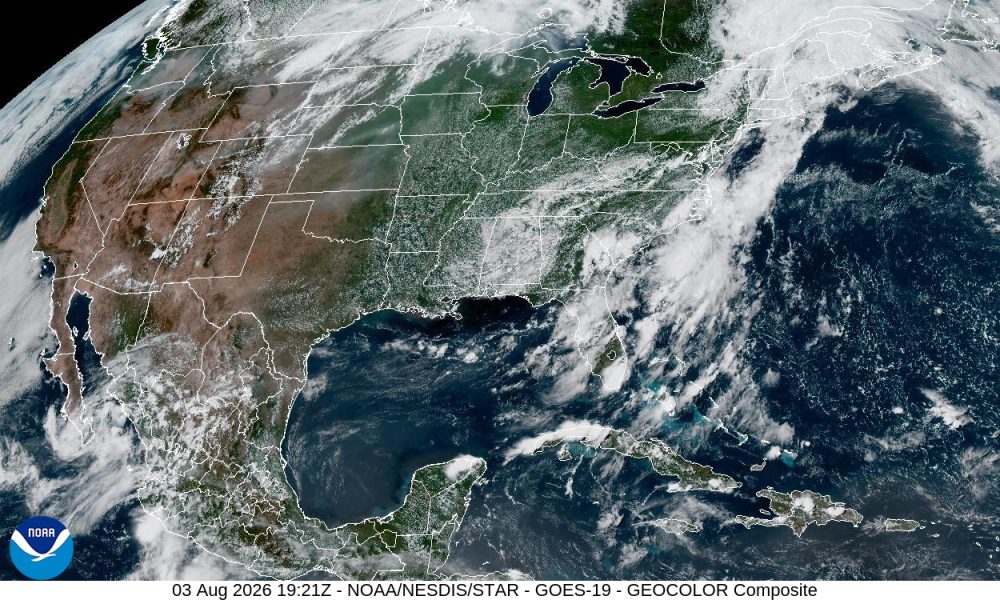
The problem is there’s a huge cut-off low across the deep south which will push north into our neck of the woods on Wednesday. Here lies the problem. The low has become so cutoff from the normal flow of traffic (in the atmosphere) that it has no steering currents to push it on its way. Therefore, it will be moving along very, very slowly. Unfortunately for us that means incredibly humid conditions thanks to a persistent southerly flow for the rest of the week and a daily chance of showers and thunderstorms. It’s a tropical Florida pattern for the Delaware and Lehigh Valleys, so get ready.
Remember how dewpoints work…
Under 60 = Comfortable
60-64 = Slightly Humid
65-69 = Humid
70-74 = Tropical Humidity
75+ = Awful, Suffocating at Times