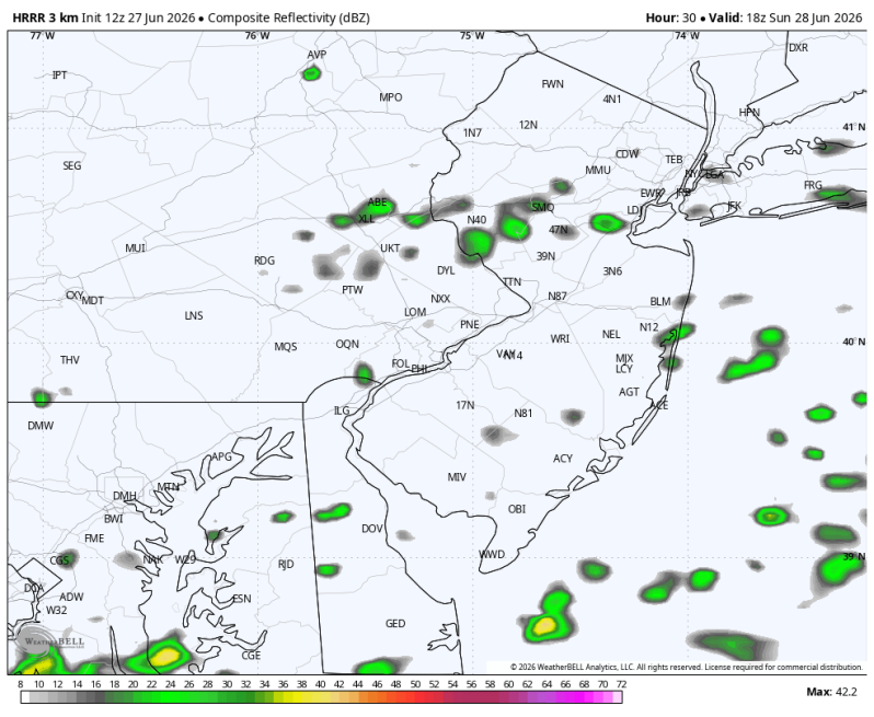
The image above is what the radar may look like Sunday afternoon.
Weather Summary
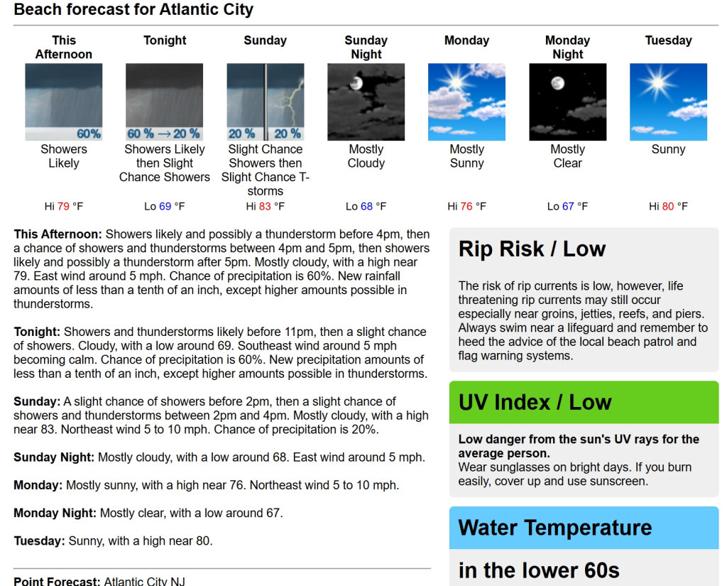
On and off showers and periods of rain crashed the party Saturday. We even saw a few drenching downpours and stronger thunderstorms around the mouth of Delaware Bay. Fortunately, today should be a little bit better. The clouds are going to be difficult to shake. There could even be a shower or two later in the day. Although the coverage looks spotty. High temperatures will top out in the upper 70s, low 80s up and down the coast. Light onshore winds.
Get ready for some bigtime heat next week! Even for coastal areas. By the middle and end of next week high temperatures on the sand will top out in the 90s with high humidity levels. Even for places like Wildwood, Sea Isle City and Brigantine there’s a chance the heat index peaks over 100 degrees at some point.
So as this heat wave really kicks in across interior sections there won’t be much relief down at the shore Wednesday and Thursday and Friday.
Sunday’s Beach Forecast
Burn Index: Low (Lots of clouds)
Winds: E 5-10 mph
Rip Current Risk: Low
Water Temperature: 68
Sunday’s Boating Conditions
Sky Conditions: Mostly cloudy
Seas: 2-3 ft.
Winds: NE 5-10 kts