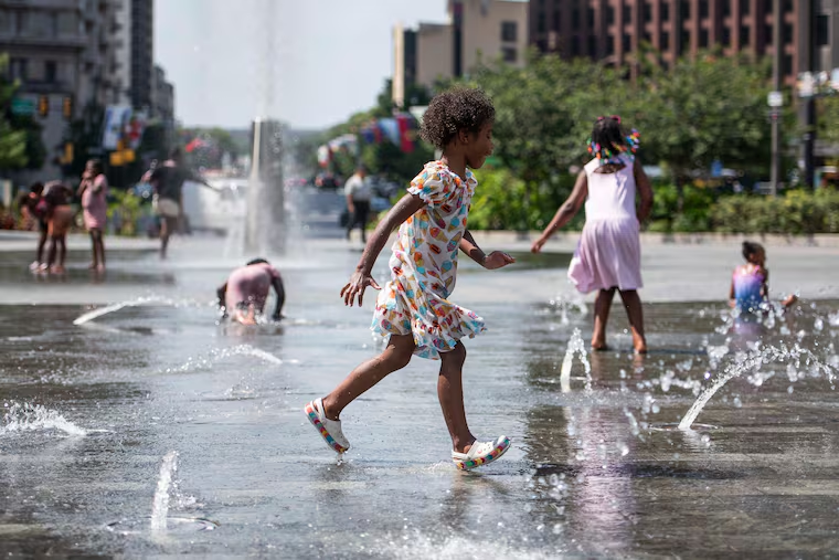
It promises to be another incredibly humid day with dewpoints in the upper 70s again. This combined with temperatures in the low 90s will put heat index numbers over the century mark for the second straight day.
Philadelphia is looking at a high of 92 with a heat index of 101
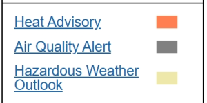
The HEAT ADVISORY will continue through the afternoon and has now been extended into Saturday.
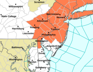
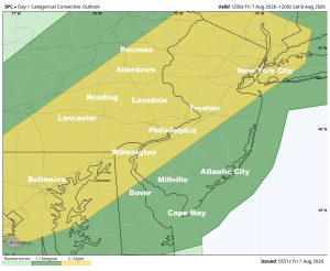
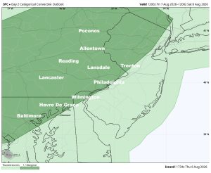
Along with the heat comes the threat for late afternoon downpours and thunderstorms. This round should be a little more organized than what we saw Thursday evening as a disturbance swings through the region. The Storm Prediction Center has issued a LEVEL 1 SLIGHT RISK for severe weather for the areas shaded in dark green in the image below. This includes Philadelphia, Trenton, Wilmington, Lancaster, Reading, Allentown, Baltimore, Washington DC, Harrisburg, and the Poconos.
A LEVEL 1 SLIGHT RISK is on the lower end of the severe weather scale (runs from 1 to 5) and calls for only “isolated” strong to severe thunderstorms. Many locations will see a thunderstorm Friday evening, but most areas should avoid severe weather.
That’s the thinking right now, but we’ll wait and see whether or not the SPC issues an upgrade to a LEVEL 2 WIDESPREAD during the morning update.
The timing is from 4pm to 10pm from west to east.
5:00am Update
The SPC has now gone ahead and upgraded the severe weather risk to a LEVEL 2 SCATTERED in the area shaded in yellow.