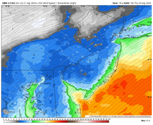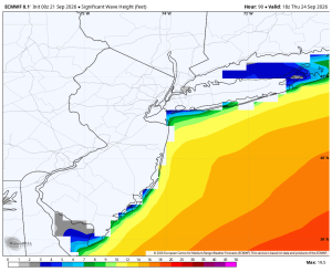



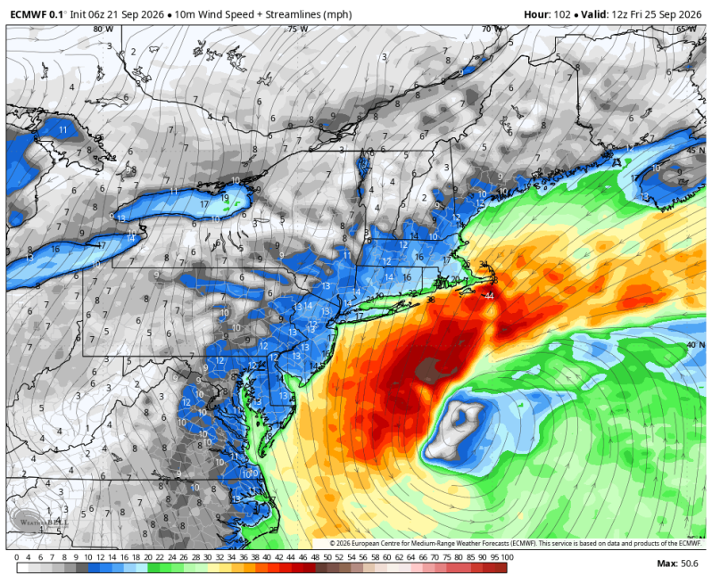
Regardless of whether or not the late week nor’easter materializes, the Jersey Shore will take a pounding this week. A strong gradient wind will develop. A gradient wind is simply a wind that blows around high and low pressure systems. This week the surface map shows a high-pressure system moving by to our north across southern Canada. At the same time, we have lower pressures developing across the Carolinas and the southeast part of the United States. As these two areas of different pressures tighten up later this week, or get closer to one another, the wind will strengthen.
The current computer guidance shows gusty winds, rough surf and areas of coastal flooding nearly every single day this week. Then we’ll have to wait and see what happens with the potential nor’easter. If it were to impact the area it would be Friday night into Saturday.
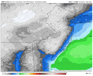
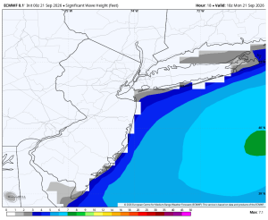
Monday
Winds: NE 15-20 mph Surf: 3-4 ft.
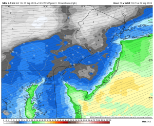
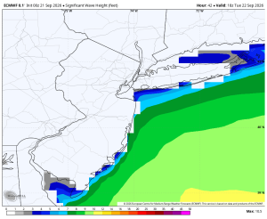
Tuesday
Winds: NE 20-25 mph, Gusts: 40 mph Surf: 4-7 ft.
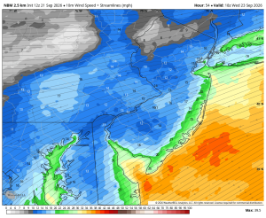
Wednesday
Winds: NE 25-30 mph, Gusts: 45 mph Surf: 6-9 ft.
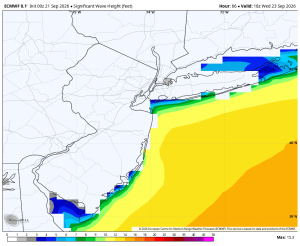
Thursday
Winds: NE 30-35 mph, Gusts 45 mph Surf: 6-9 ft.