Weather Summary
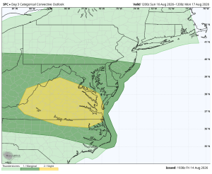
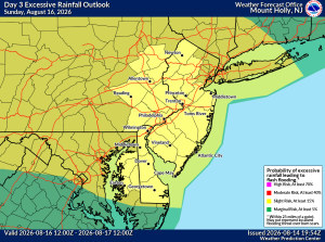
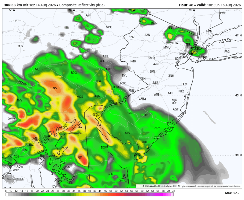
The forecast for Sunday keeps changing as the modeling continues to go back and forth with the track of a disturbance moving out of the Ohio Valley. Because it’s rather small, just the slightest shift in the track could dramatically change the forecast. As of this writing the SPC has parts of the area under a level 1 out of 5 severe weather risk (spotty) and the WPC has the entire area under a level 2 out of 4 flash flood risk (elevated).
The first part of the day looks alright so that will be your best opportunity to get outdoors. But right around lunchtime is when some of these downpours and thunderstorms are likely going to start moving in.
If you live in an area that typically floods during a heavy rain event, I recommend paying close attention to the forecast over the next 36 hours. Areas that could take on some water Sunday afternoon are smaller creeks and streams, low lying areas, areas of poor drainage and urban locations.
As for severe weather, the primary concern is for strong, straight-line winds. But I want to continue to stress that the threat is only isolated (spotty) for now.
Weather risks are listed below…
Severe Weather Risk Flash Flood Risk