




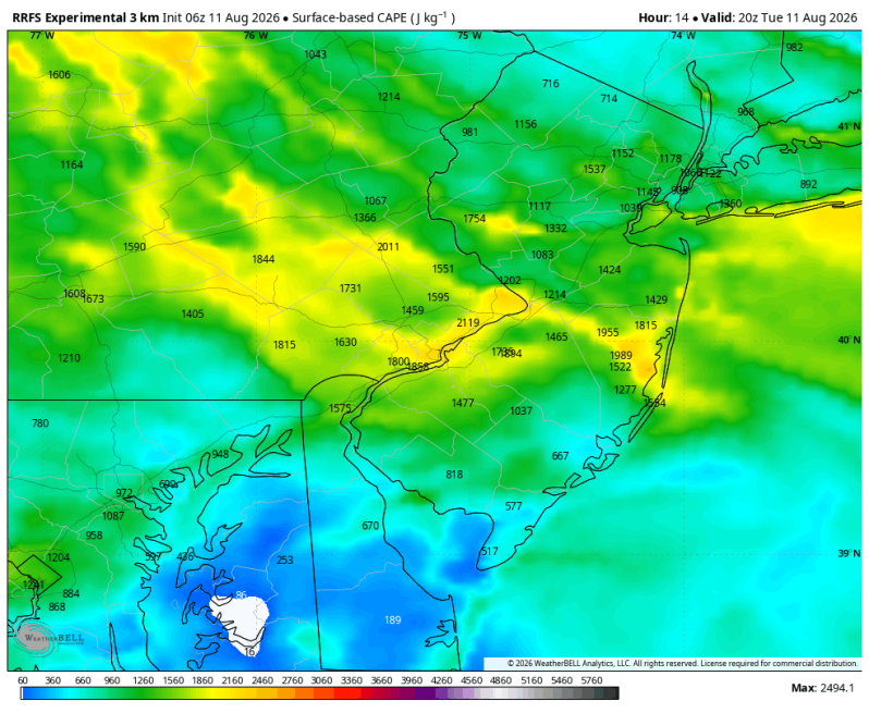
The SPC is gearing up for a huge severe weather day out west as most of the high-resolution forecast data shows an MCS (Mesoscale Convective System) sweeping across the Ohio Valley. An MCS is a group, or cluster of very intense thunderstorms often times responsible for creating a significant amount of wind damage and traveling great distances.
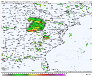
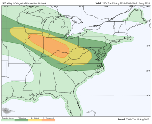
Fortunately for us, there doesn’t appear to be much left of this cluster by the time it makes its way into our neck of the woods. Just a couple of thunderstorms after 3pm, perhaps one or two of these turning strong to severe. The coverage is very isolated though.
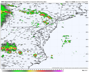
If a storm does turn severe in your neighborhood, the main concern is for strong straight-line winds up to 60 mph. Both the hail and tornado threats are less than 2%. A word of caution about that though. The tornado threat on Monday was less than 2% along the Mid-Atlantic east coast and yet we still had two tornado warnings for the downtown Baltimore area and a nice tornado signature that showed up on radar. So, it’s a low threat, but a threat, nonetheless.
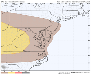
Overall, this is not expected to be a very active severe weather day. If you have outdoor plans the large majority of you should be fine. A couple areas though could see a strong storm later in the day.





