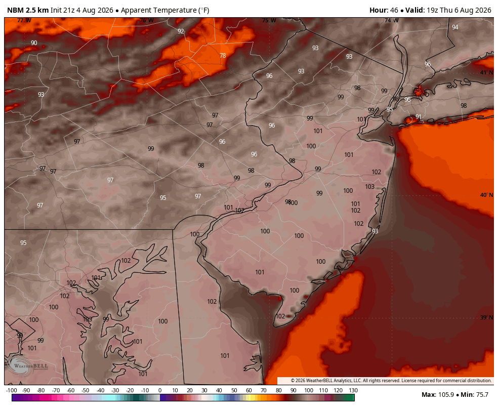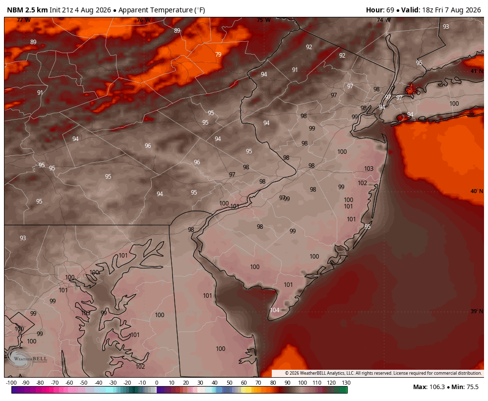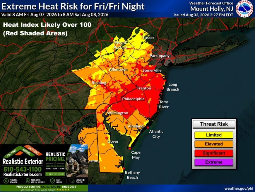
It’s about to get pretty toasty out there again later this week. The cold front that pushed through the Philadelphia area Monday night is now returning in the form of a warm front. This boundary is opening the door to another incredibly humid and unstable airmass. Dewpoints will skyrocket into the upper 70s with temperatures hovering right around 90 degrees. The combination of the two will make it feel like 100 degrees at times Thursday and Friday, if not a couple of degrees hotter than that!
Humidity creates instability! CAPE values (Convective Available Potential Energy) will soar between 3,000 and 4,000 j/kg. You only need about 800 or so to turn a thunderstorm severe. So, with this kind of energy, powerful (potentially damaging), downburst winds should be fairly easy to achieve. The question is the trigger. I don’t see too much out there Wednesday and Thursday. There will be a couple of showers and thunderstorms out there at times, but nothing widespread. A more organized system sweeps through though on Friday. That looks to be our best chance of seeing severe weather this week. Or at least that’s the way it looks right now.