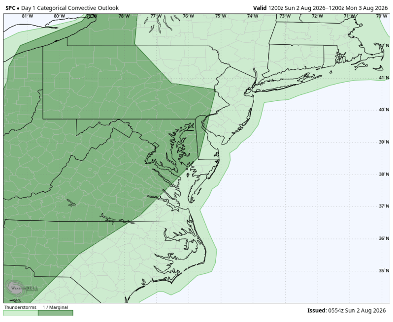
Today will feature a classic midsummer weather pattern across the Philadelphia area. Expect mostly cloudy skies for much of the day with warm, muggy conditions continuing as temperatures climb into the mid 80s. While much of the daylight hours will be dry, the combination of warm temperatures and high humidity will create an unstable atmosphere, allowing scattered showers and thunderstorms to develop late this afternoon and into the evening. Not everyone will see the rain, but any storm that does develop could produce big downpours, frequent lightning and gusty winds. We do have a low-end severe risk for areas west of the Delaware River.
If you have outdoor plans, the first half of the day offers the best opportunity to stay dry but be prepared to keep an eye on the sky later this afternoon. Remember the high humidity will make it feel much warmer than it actually is. So even though we’re not under any heat alerts, it might not be a bad idea to stay hydrated.
————————————————————————
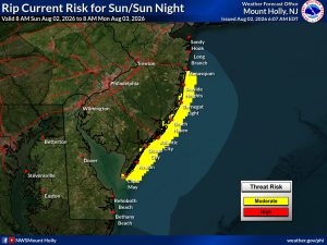
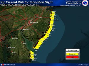
Moderate Risk of Rip Currents
For beachgoers watch the rip currents over the next couple of days. Only swim on guarded beaches and once the lifeguards are done for the day, please stay out of the water.
Today/Tonight Monday/Monday Night