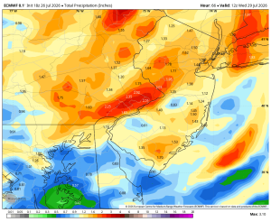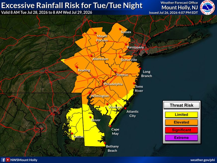
Weather Summary
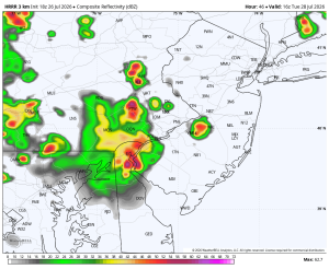
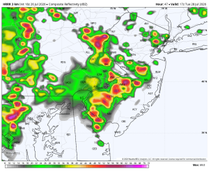
Tuesday has the potential to be one of those days that bears close watching across the Philadelphia area. A slow-moving cold front will interact with a very warm, tropical air mass creating an atmosphere capable of producing strong to severe thunderstorms during the afternoon and evening. The primary concern will be damaging straight-line winds, but frequent lighting, pockets of large hail, and even an isolated tornado cannot be ruled out if a few storms become more organized.
The flash flood threat is also elevated. The atmosphere will contain an abundance of tropical moisture, allowing thunderstorms to produce torrential rainfall in a short period of time. Rainfall rates of 1 to 2 incher per hour and even higher in the strongest storms – could quickly overwhelm storm drains and flood roads, creeks and low-lying areas. The greatest concern will be where storms repeatedly move over the same locations, leading to rapid rises in water levels and dangerous travel conditions during the late afternoon and evening commute. If you encounter a flooded roadway, remember TURN AROUND, DON’T DROWN!
12pm Tuesday
Rainfall Totals Through Tuesday Night