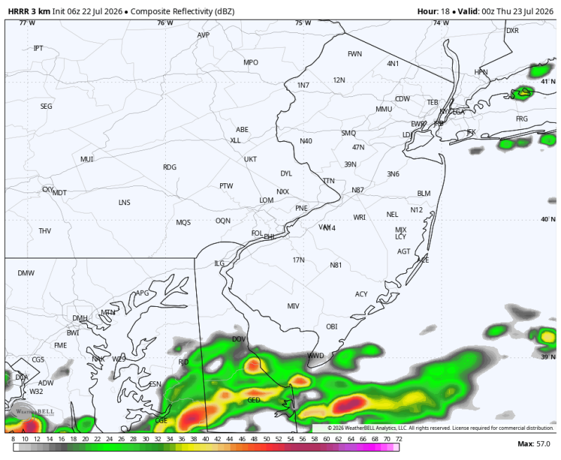
The image above is off the high-resolution HRRR forecast model and is a look at what the radar may look like by 8pm.
Weather Summary
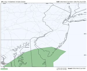
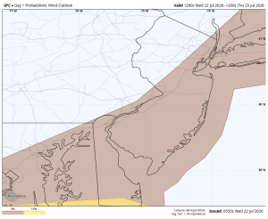
Overall today is a much quieter day, but a strong thunderstorm is still possible for areas south and east of the city. The Storm Prediction Center has placed the coastal plain (New Jersey and Delaware) in a level 1 slight risk for severe weather. A level 1 risk is an isolated threat for severe weather meaning most areas won’t see it. Some locations will though. Gusty, straight-line winds and downpours are the main threats. There’s a low-end tornado threat as well from Cape May, Cumberland and Kent counties south through Delmarva.
Timing: 2-8pm
Straight-line wind threat
Tornado Threat