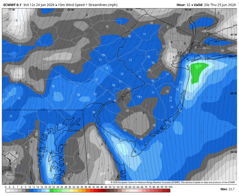
The image above is a look at wind speed and direction Thursday afternoon.
Weather Summary
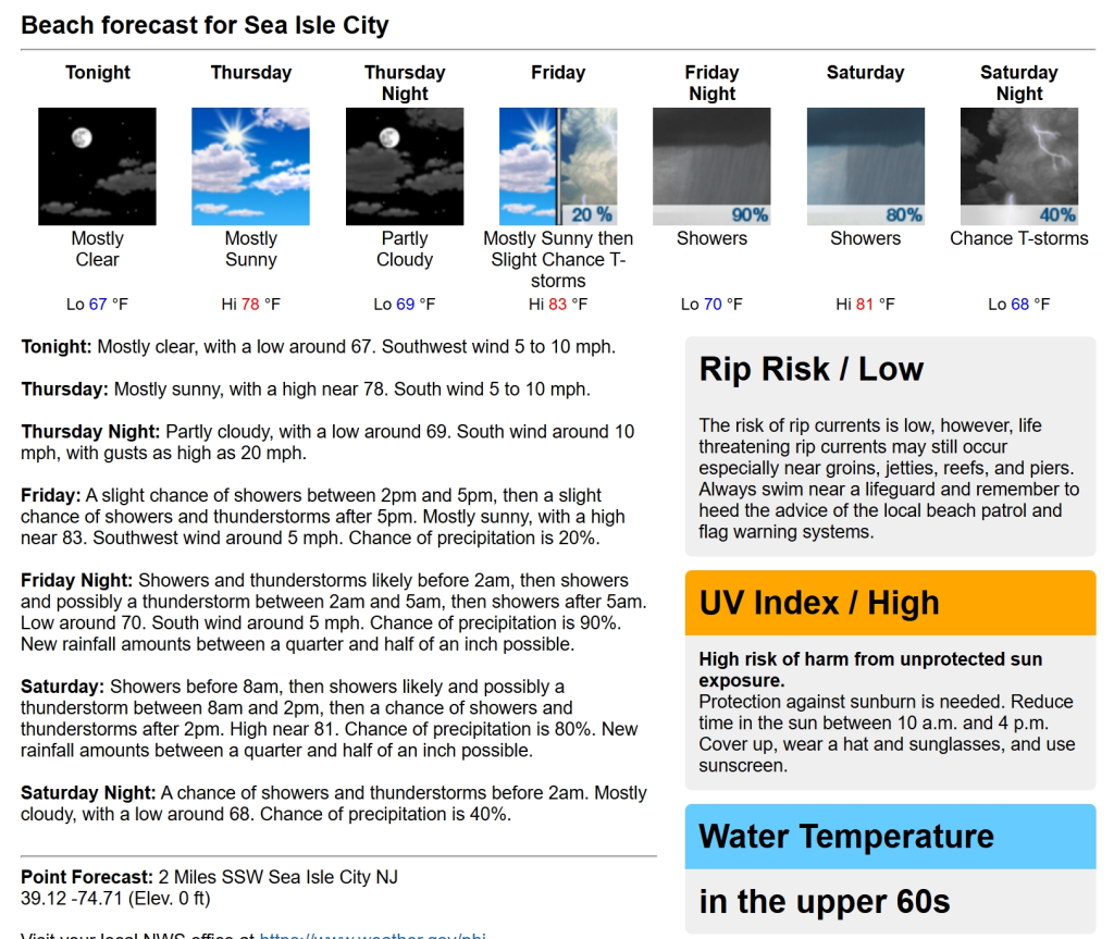
Thursday looks like another fantastic day up and down the Jersey shore and Delaware beaches. Mostly sunny skies, low humidity levels and temperatures in the mid to upper 70s! Not too bad for the end of June! The dewpoints will begin to climb a bit late in the day, but the bulk of the humidity holds off until Friday.
Speaking of Friday, a frontal boundary will be swinging through late in the day. With it comes the threat for a few showers and thunderstorms around dinner time and beyond. Otherwise, it’s a warm and humid day with a southwest wind 5-10 mph (land breeze).
That takes us into the weekend which continues to look like a 50/50 split at this point. Saturday looks a little damp with clouds and showers developing. Sunday looks partly to mostly sunny with a spotty shower around. If you’re looking to make outdoor plans this weekend, Sunday looks like the way to go right now.
Beach Conditions Thursday…
UV Index: Very High
Winds: S 5-10 mph early; 10-20 mph during the afternoon.
Temperatures: Upper 70s
Rip Current Risk: Moderate (Brigantine to Cape May)
High Tide:
- Barnegat Bay 8:05am
- Ventnor 4:46am
- Stone Harbor 5:20am
- Wildwood Crest 5:09am
- Indian River Inlet 5:57am
- Fortescue 6:38am
Boating Conditions: Seas 2 ft. Becoming breezy after lunchtime.