Weather Summary
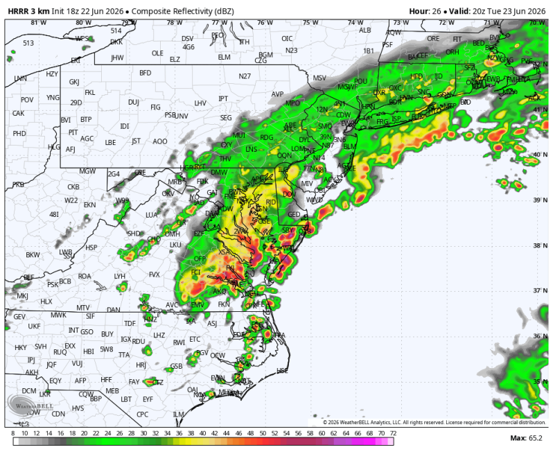
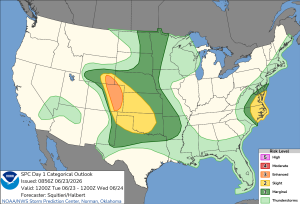
Another round of downpours and thunderstorms are on the way Tuesday as the last in a series of disturbances swings across the Delmarva. Thankfully, the severe weather threat this time around is quite a bit lower, especially compared to yesterday. The Storm Prediction Center has the southern Delmarva southward into coastal Carolina in a level 1 out of 5, isolated. The Delaware Valley is under a general thunderstorm threat with no severe weather expected.
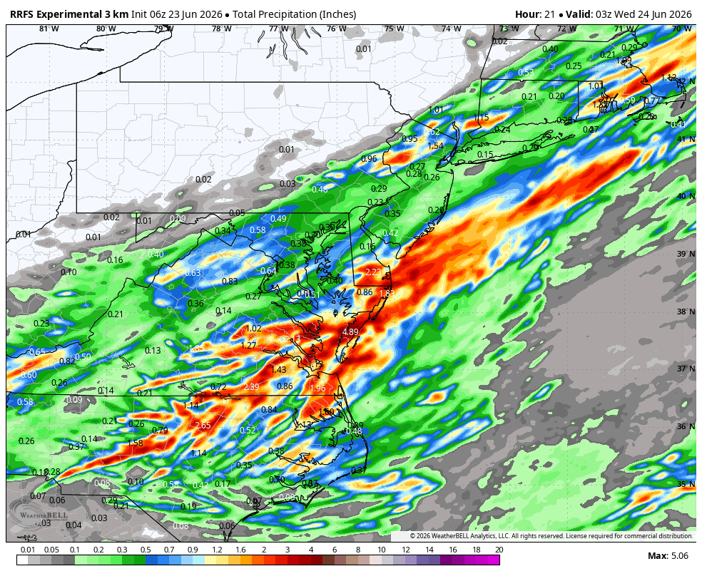
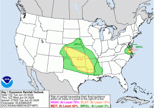
The flash flood threat is heightened again. This time across southern Delaware, the Delmarva south into Virgina. the Virginia Capes. CAMS data shows some areas well south of Philadelphia picking up an additional 1 to 2 inches of rain on top of the 1 to 3 we saw on Monday.
Poor drainage flooding, urban flooding and flooding of smaller tributaries like creeks and streams is possible.
Excessive Rainfall Outlook Severe Weather Outlook
There looks to be a more concentrated zone of heavy rain over Cape May and Sussex counties southward into southern Delmarva. Some other locations that could get hit pretty good again during the day Tuesday are Chincoteague and Ocean City, Maryland.