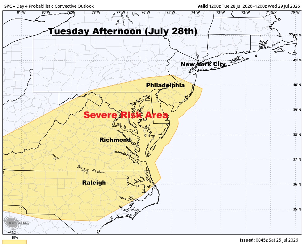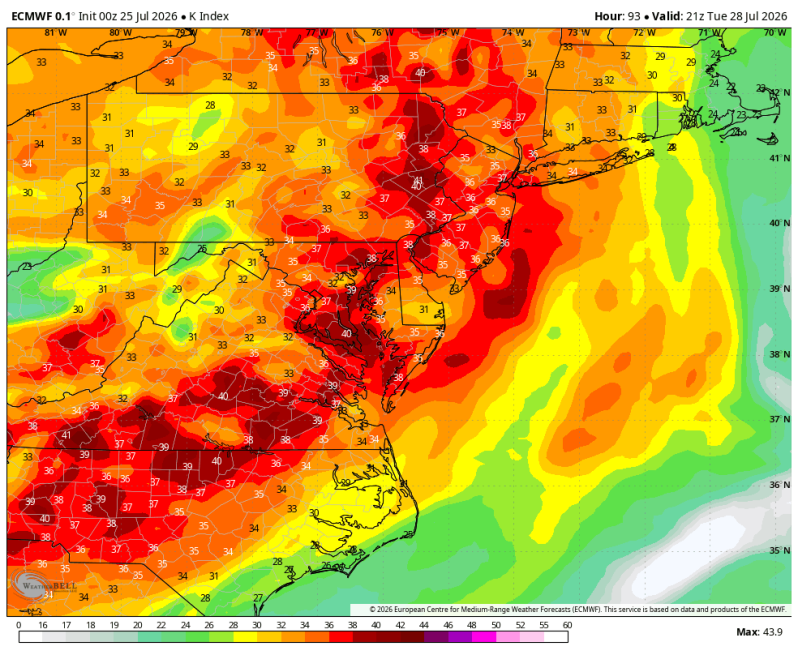
The image above is a look at the K Index off the ECMWF.
31-35 range is supportive of widespread thunderstorms, some strong.
36-40 range is supportive of widespread thunderstorms; Increased risk for severe weather.
40+ represents extreme instability and an atmosphere supportive of vigorous thunderstorms. Severe weather likely.
Weather Summary
A much more active weather pattern is expected to develop again next week. After what should be a relatively quiet start to the day, showers and thunderstorms are expected to increase in coverage and intensity during the afternoon and evening. Some of these storms could become strong to severe, with damaging winds, downpours capable of producing localized flash flooding, frequent lightning and hail.
You’ll have a decent, strengthening low-level jet pushing through again very similar to what we saw this past Tuesday with the tornado warnings. It doesn’t look nearly as strong this time around though. The amount of potential energy in the atmosphere is also weaker than what we saw this past Tuesday as well. So as of now, it doesn’t appear as if this is a huge severe weather day. But the SPC will likely issue a level 2 out of 5 severe risk.