Weather Summary
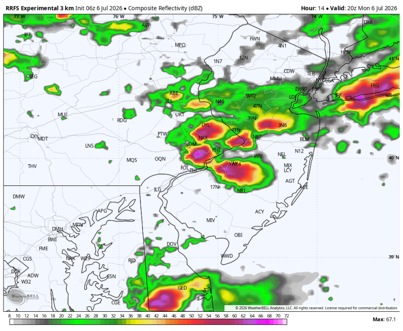
A cold front slipped through the region last night producing a round of severe weather and flash flooding up and down the I-95 corridor. The humidity hasn’t really dropped much behind this front unfortunately, but the temperatures surely have. All of the heat warnings and advisories have been dropped. Highs today and tomorrow will only top out in the upper 70s and low 80s. Much more manageable.
With the front stalled just to our south over the Delaware Bay, cloud cover is going to be difficult to shake over the next couple of days. There will also be a few showers and thunderstorms out there from time to time. Maybe even a few drenching downpours. There will be plenty of dry time out there as well so it’s not a wash out. But if you’re thinking about hitting the boardwalk, bring an umbrella or poncho just to be safe.
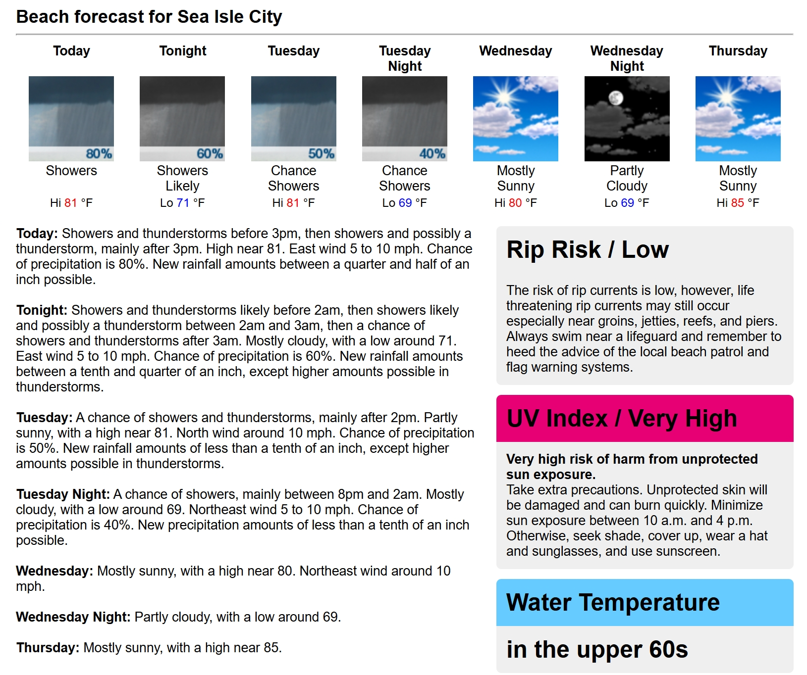
Today’s Beach Forecast
UV Index: Low (Cloudy Skies, Showers At Times, T’Storm)
Temperatures: Upper 70s
Winds: E 5-10 mph
Water Temperature: 68
Rip Current Risk: North of Atlantic City = MODERATE, South of Atlantic City = LOW
Boating Conditions
Winds: SE 5-10 kts.
Seas: 2-3 ft.
High Tide Times
Beach Haven: 1:31pm
Atlantic City: 12:36pm
Ocean City: 1:24pm
Cape May Harbor: 1:10pm
Dewey Beach: 12:56pm
Fortescue: 2:48pm